Kinder Scout
via grindsbrook clough
contents
Overview
Home to the famous Jacob's Ladder, be sure to experience the wind-carved stones and incredible views of the Kinder Plateau
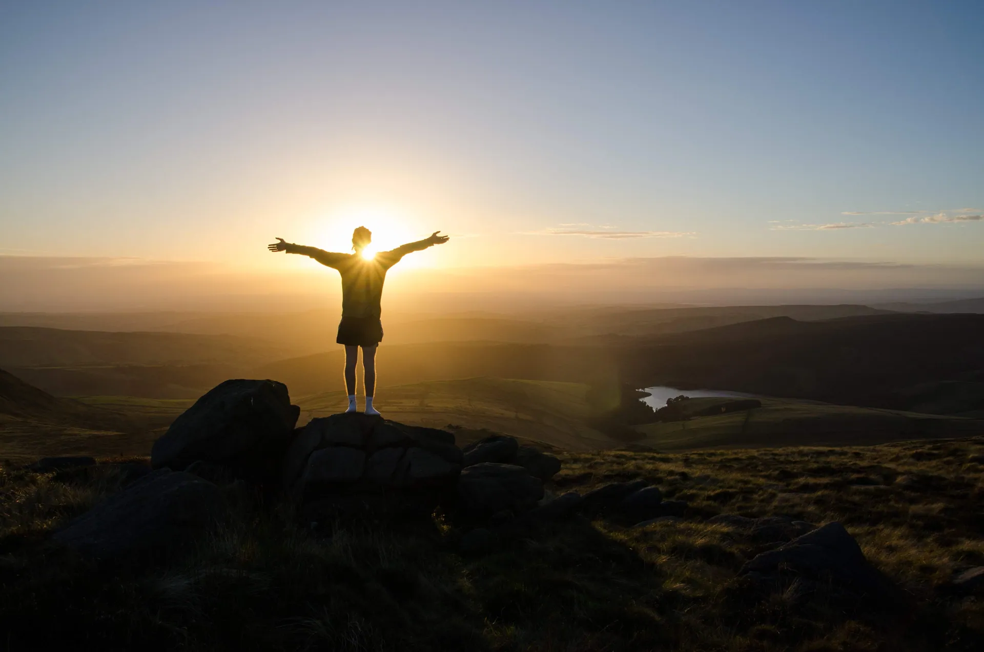
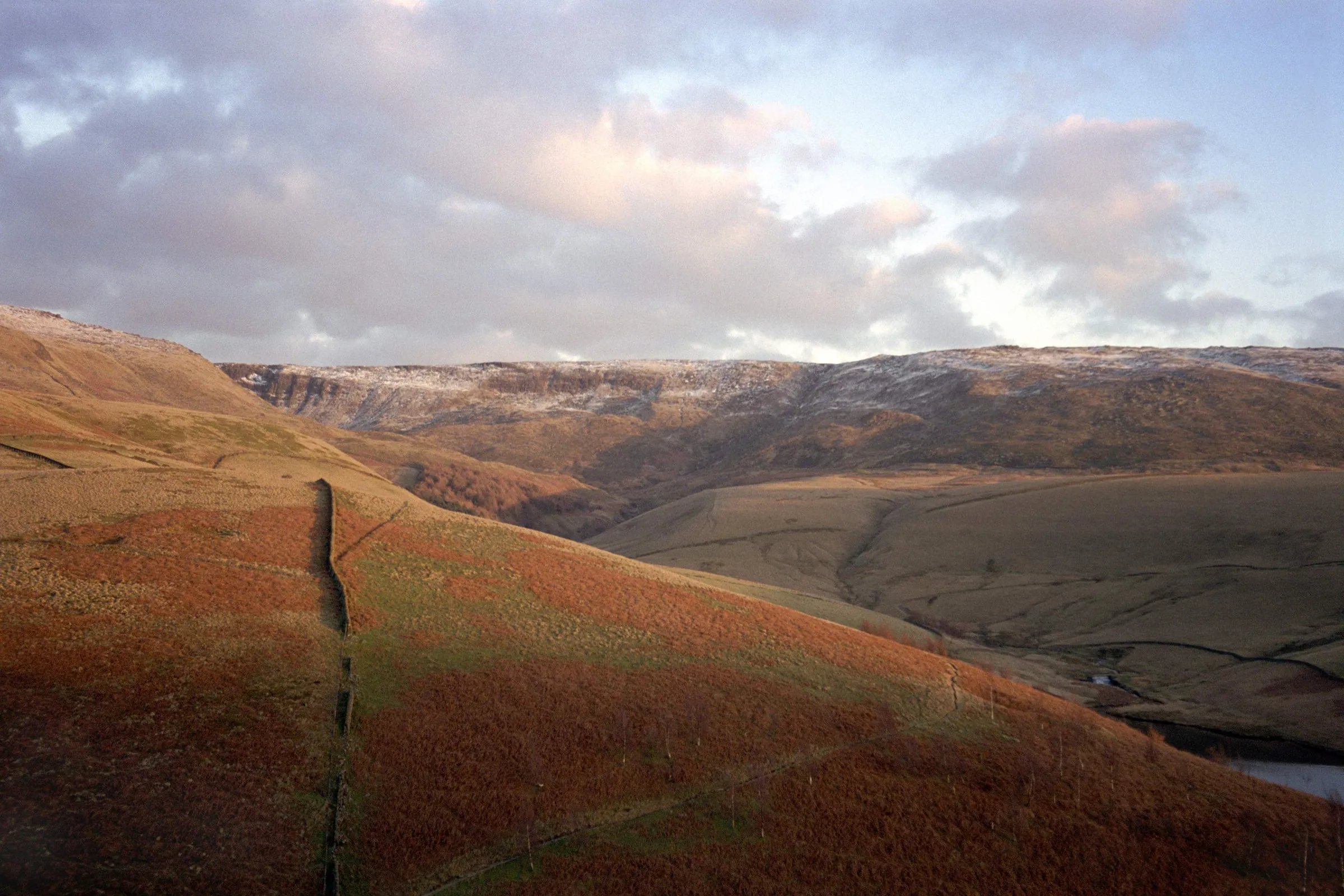
Kinder Scout lies at the heart of the Peak District, rich in both natural beauty and history. This vast stretch of open moorland was the site of the 1932 Mass Trespass, a landmark event that changed the future of public access to the countryside. Today Kinder Scout remains a symbol of that freedom, wild and windswept in many places, with peat bogs and heather stretching as far as the eye can see. Its remoteness and shifting weather make it both a challenge and a privilege to explore, offering a glimpse into the rugged heart of the Peaks.
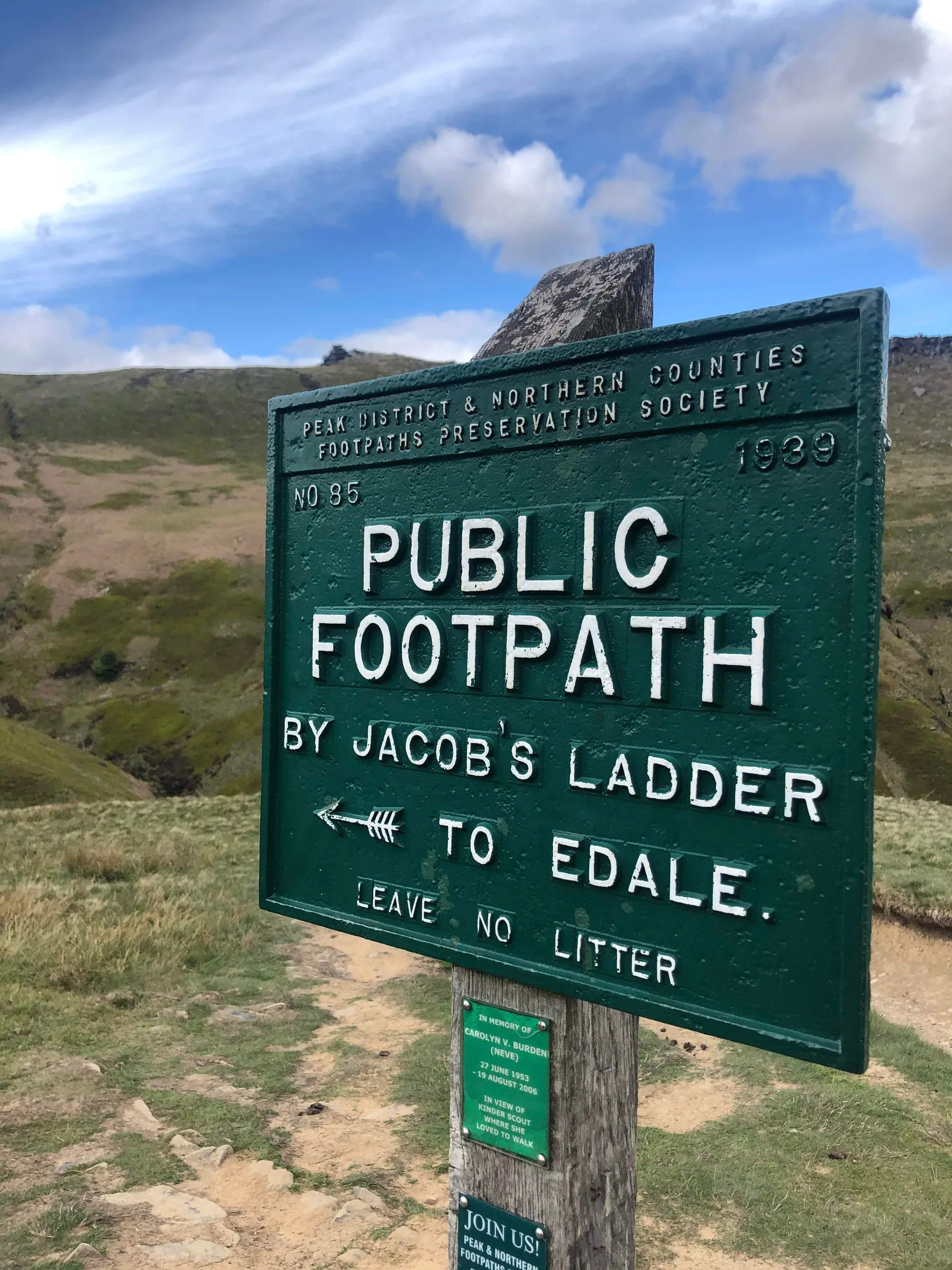
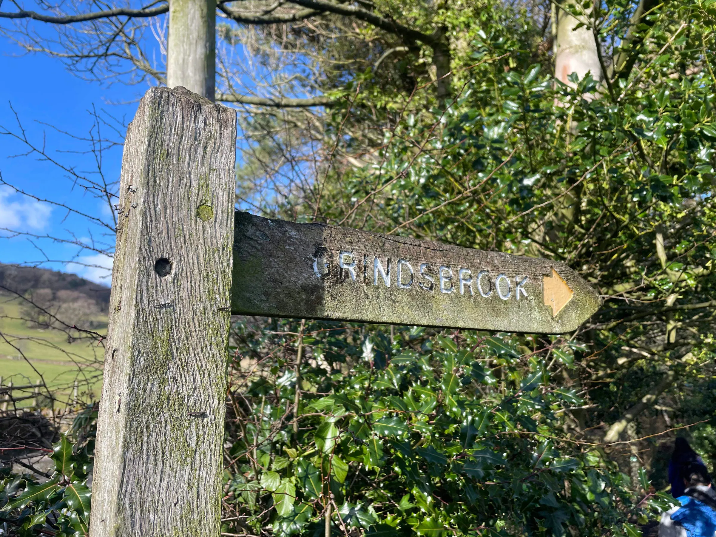
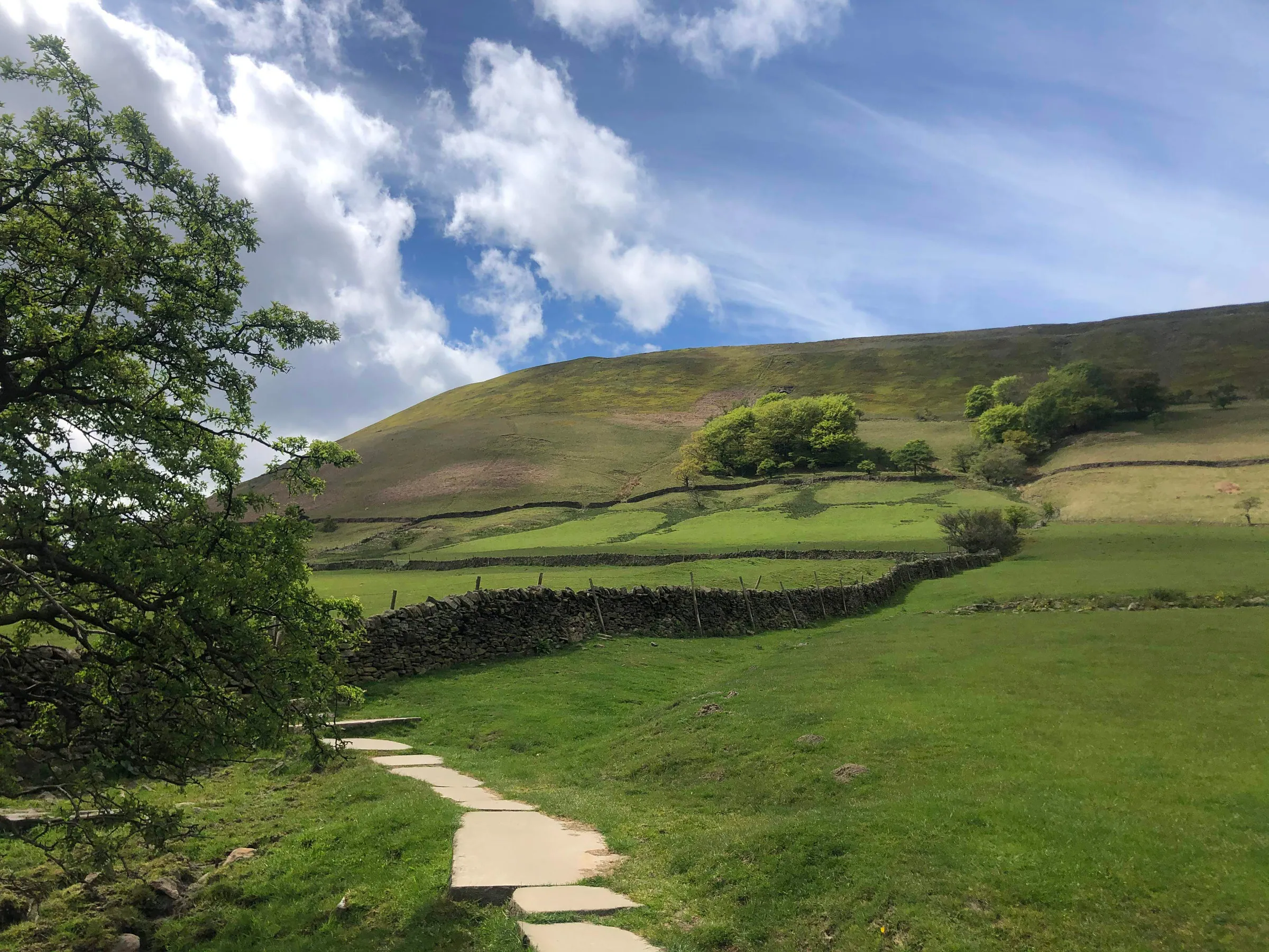
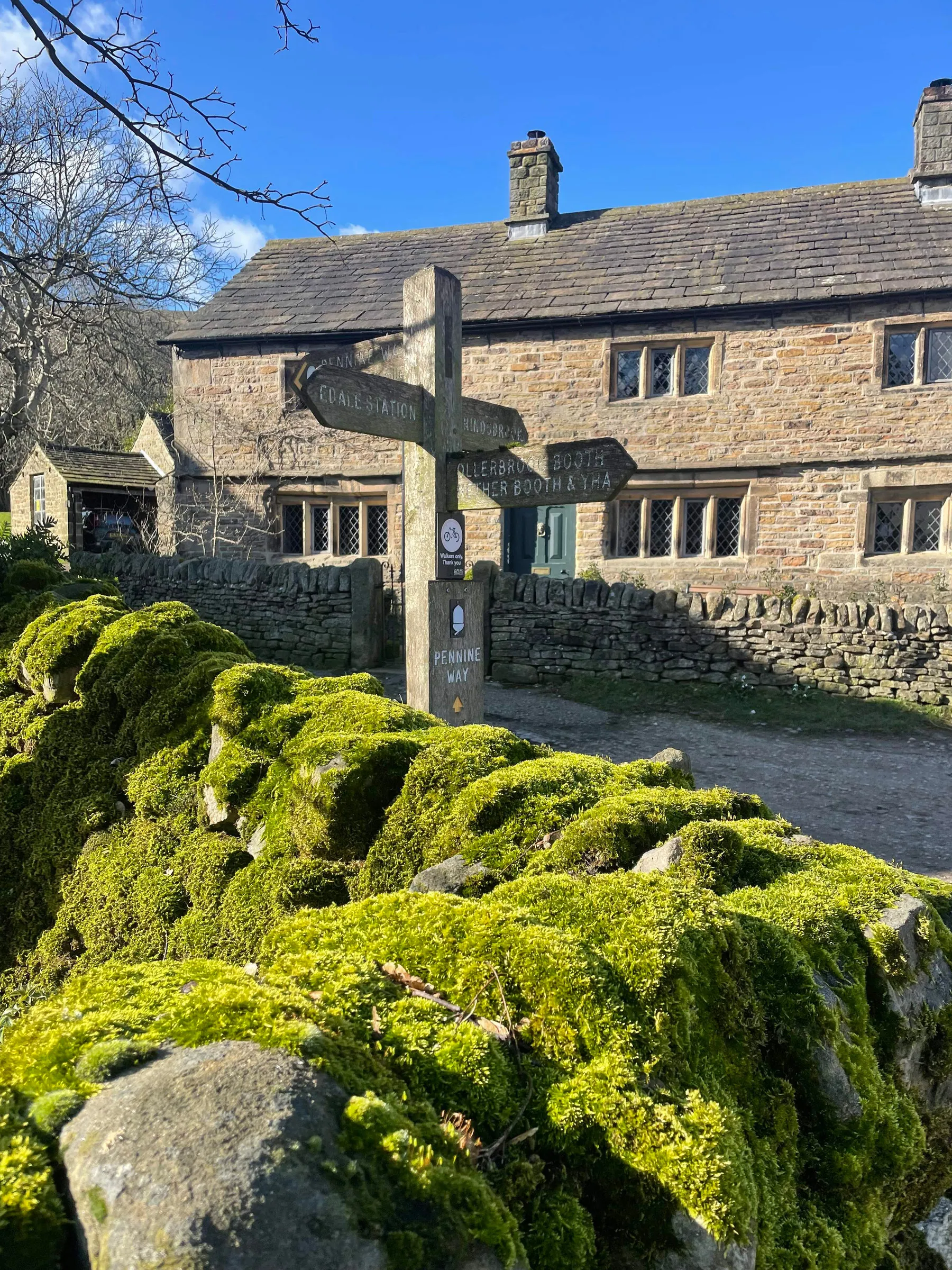
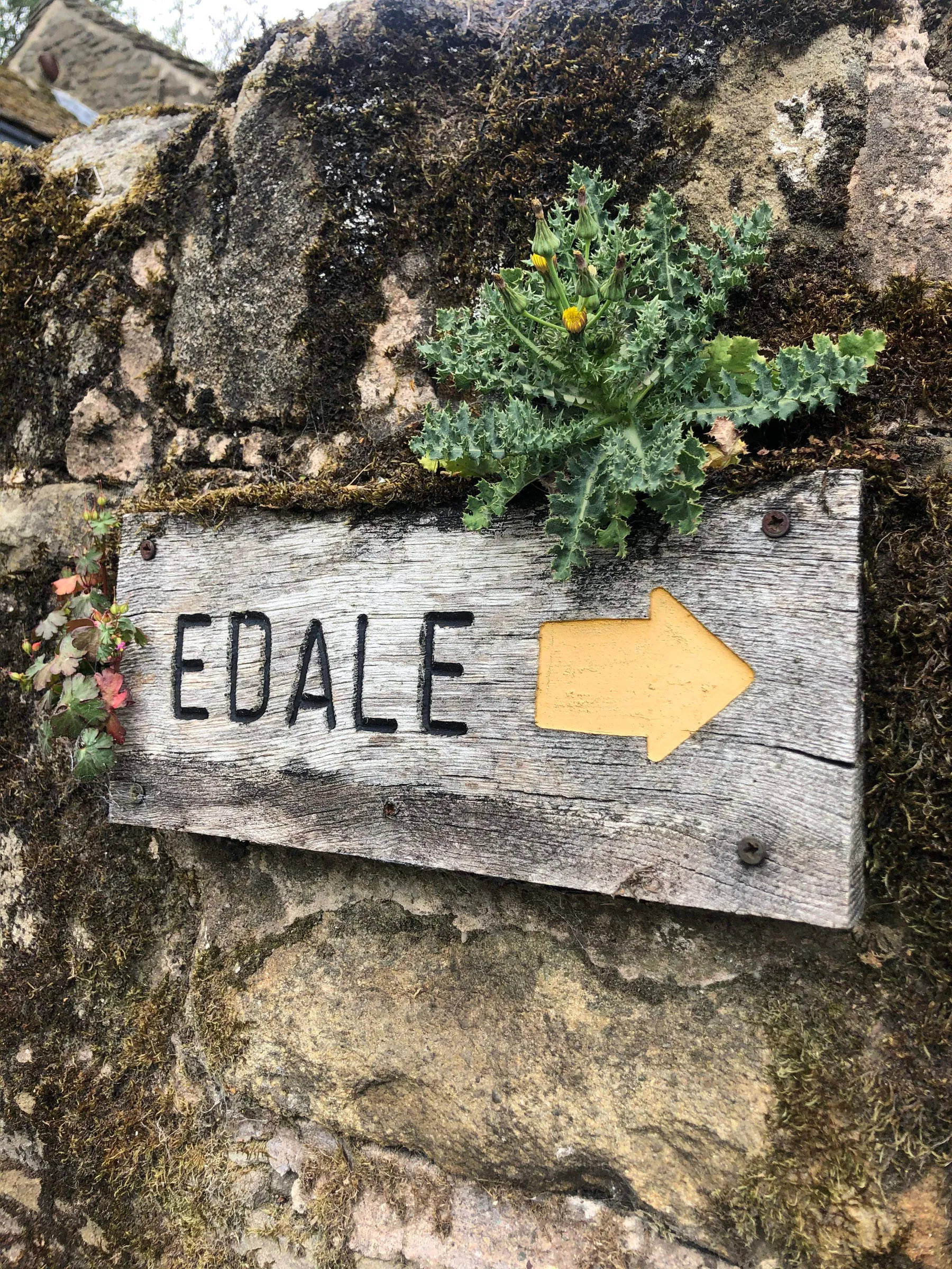
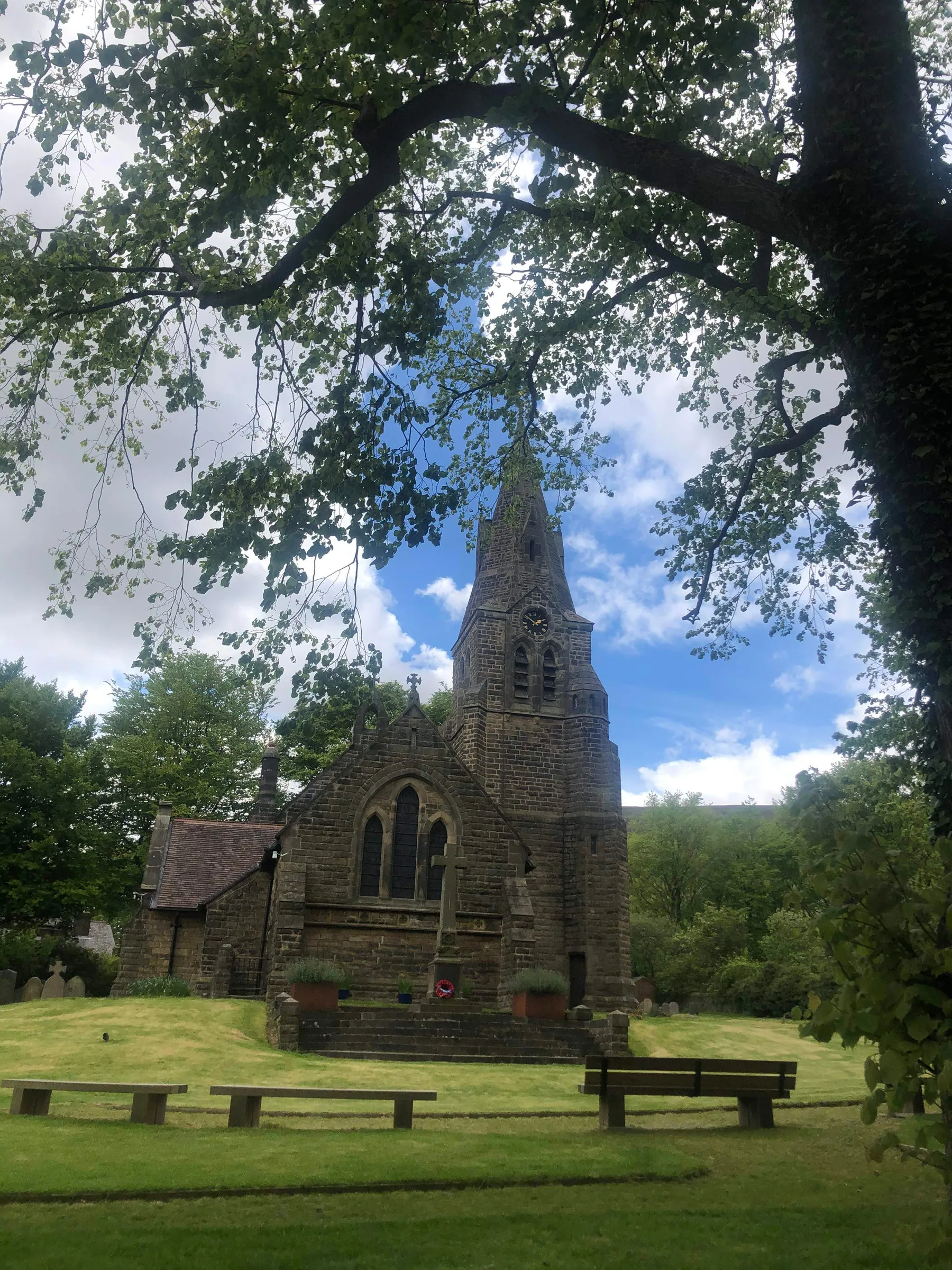
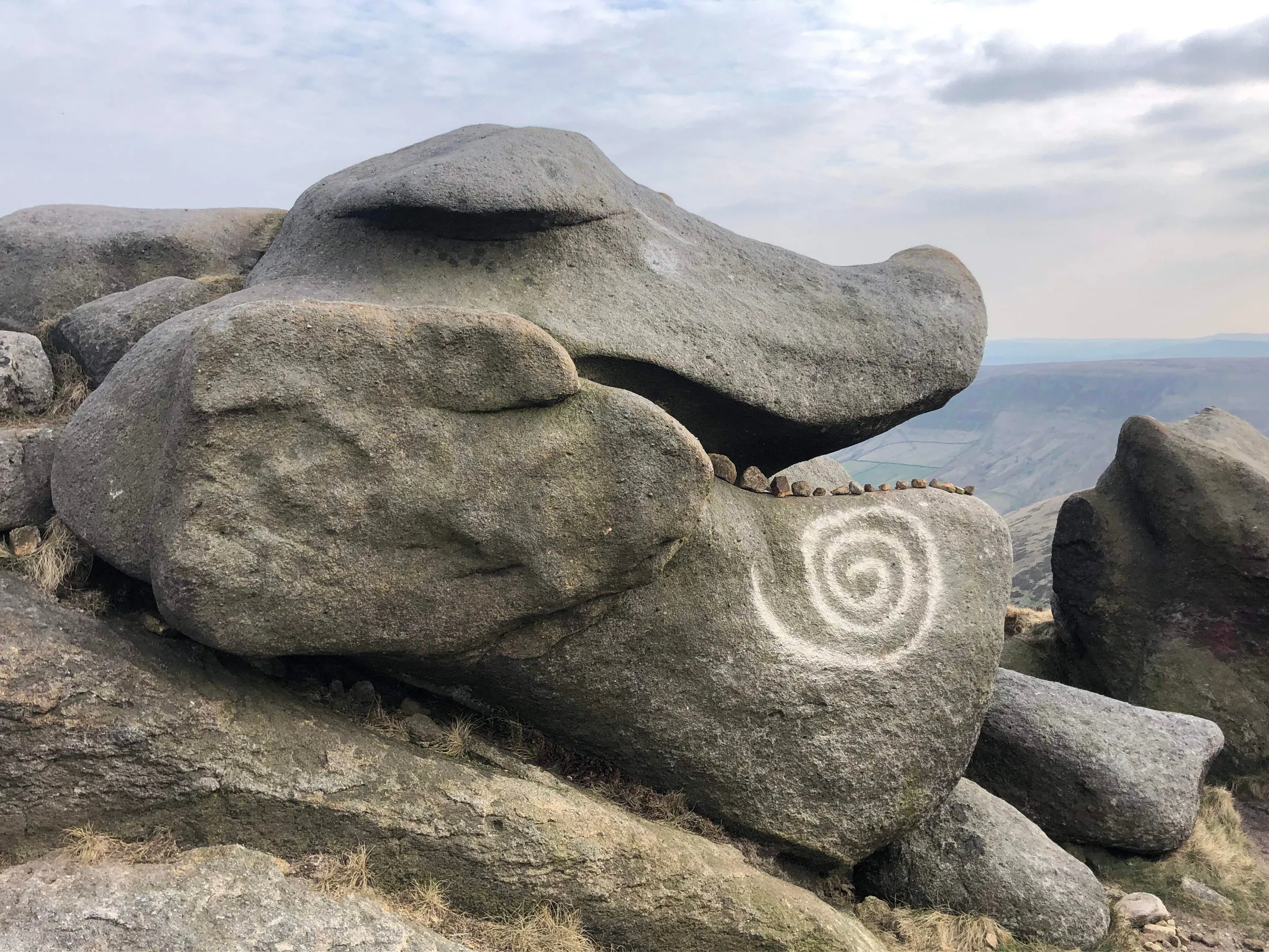
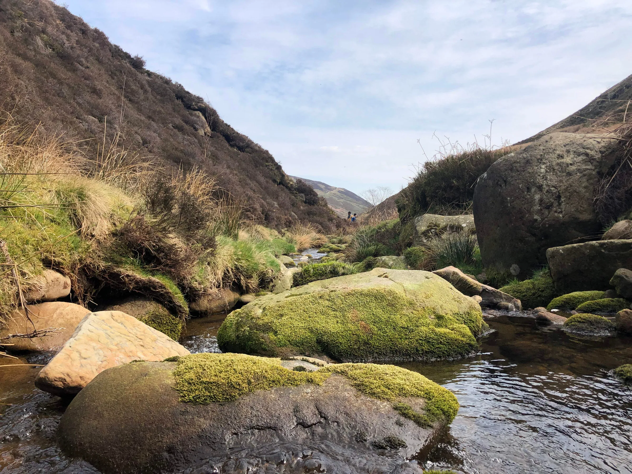
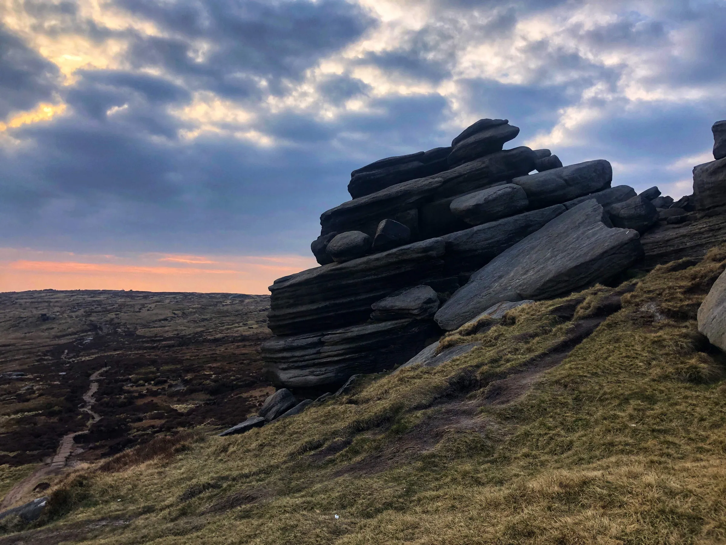
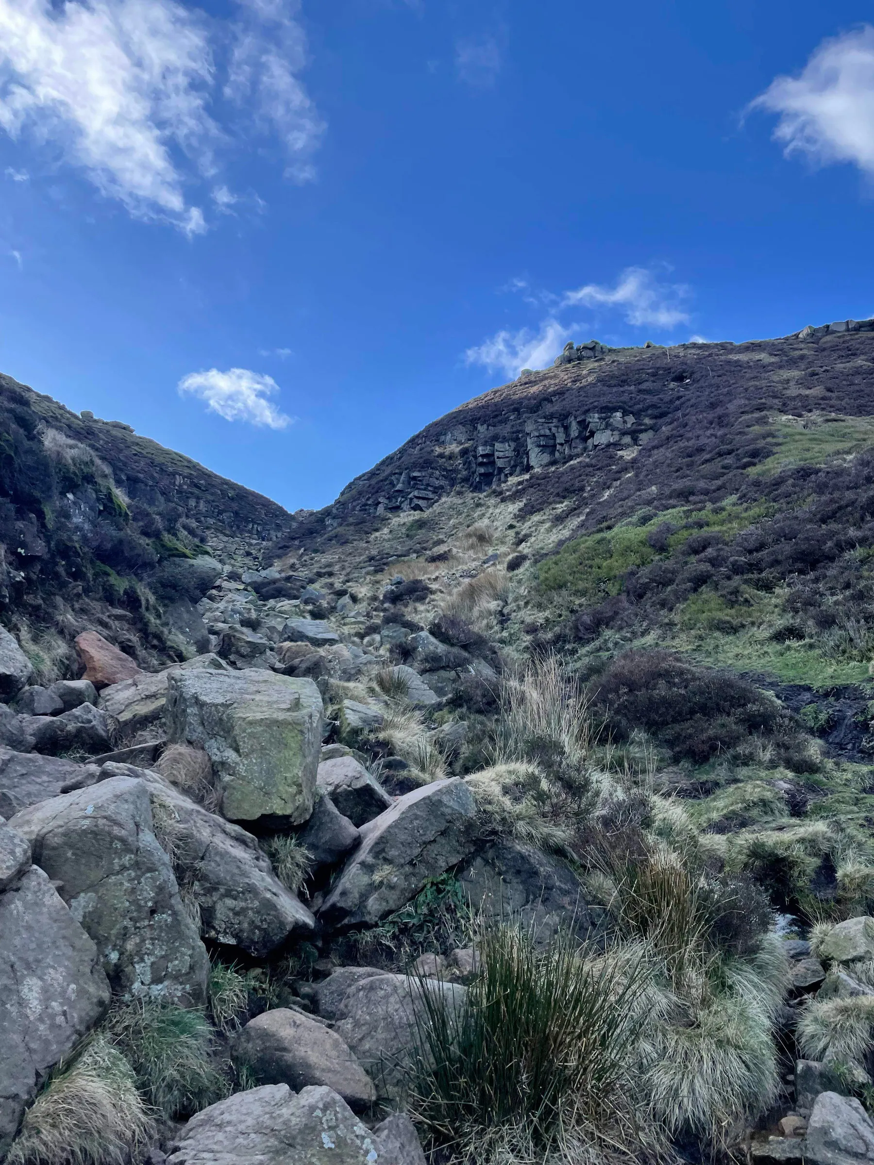
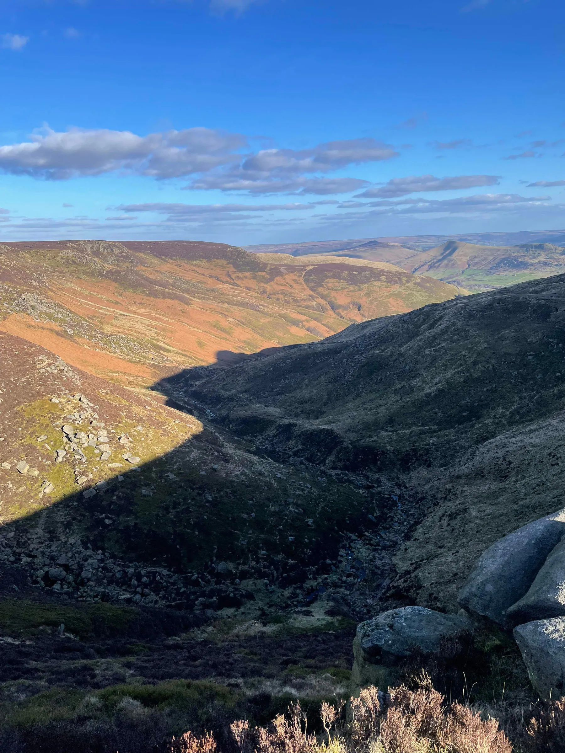
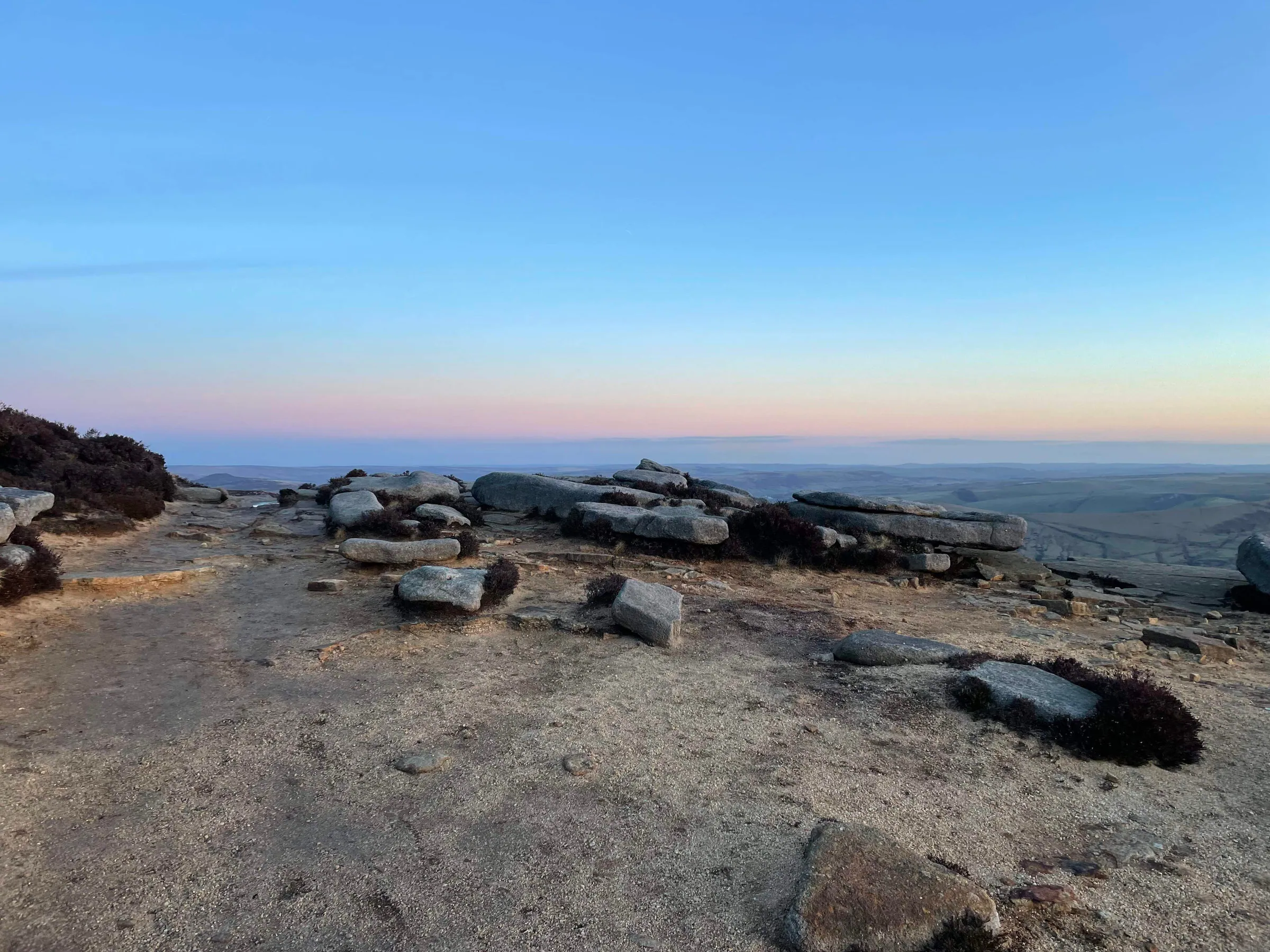
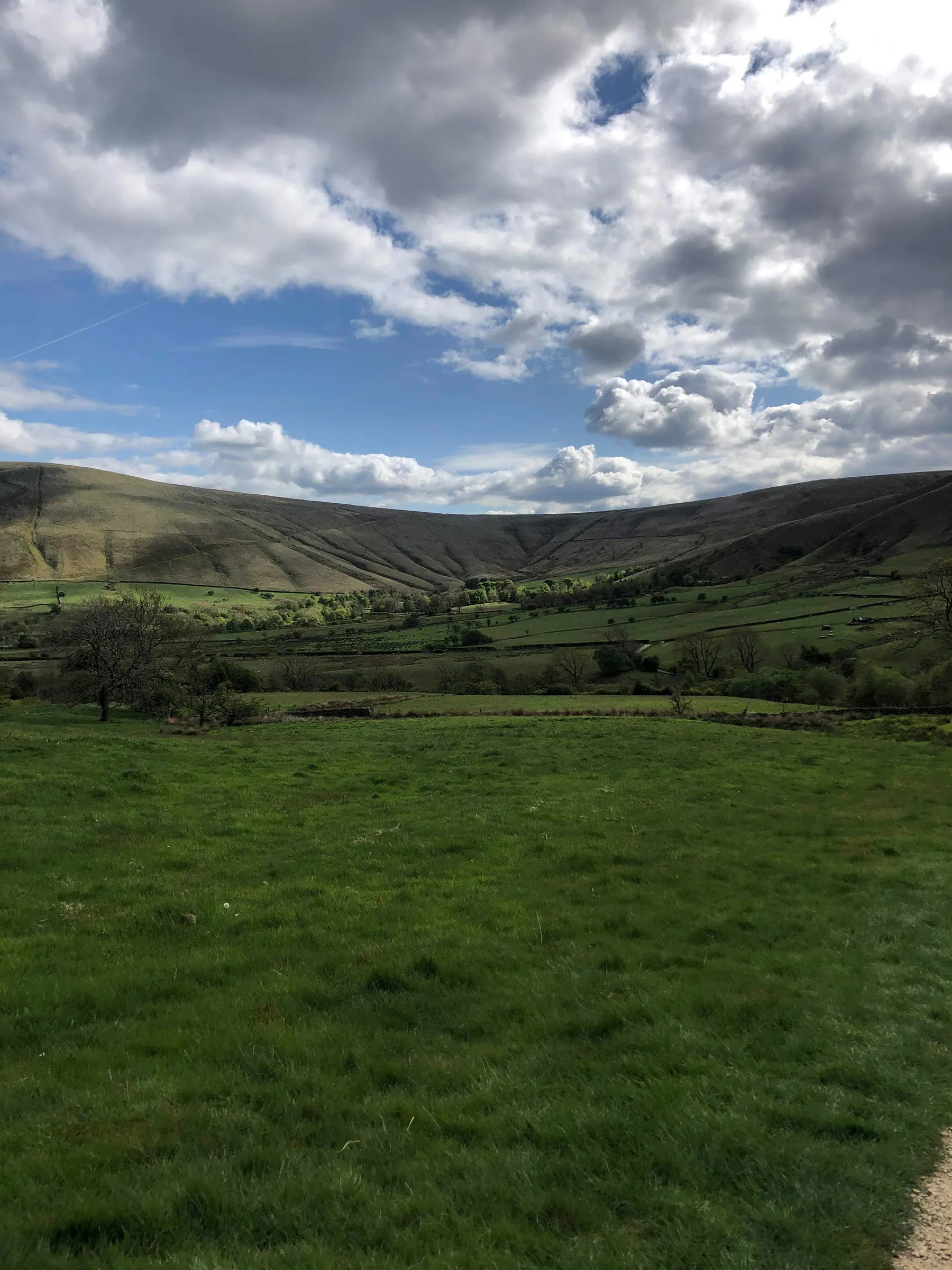
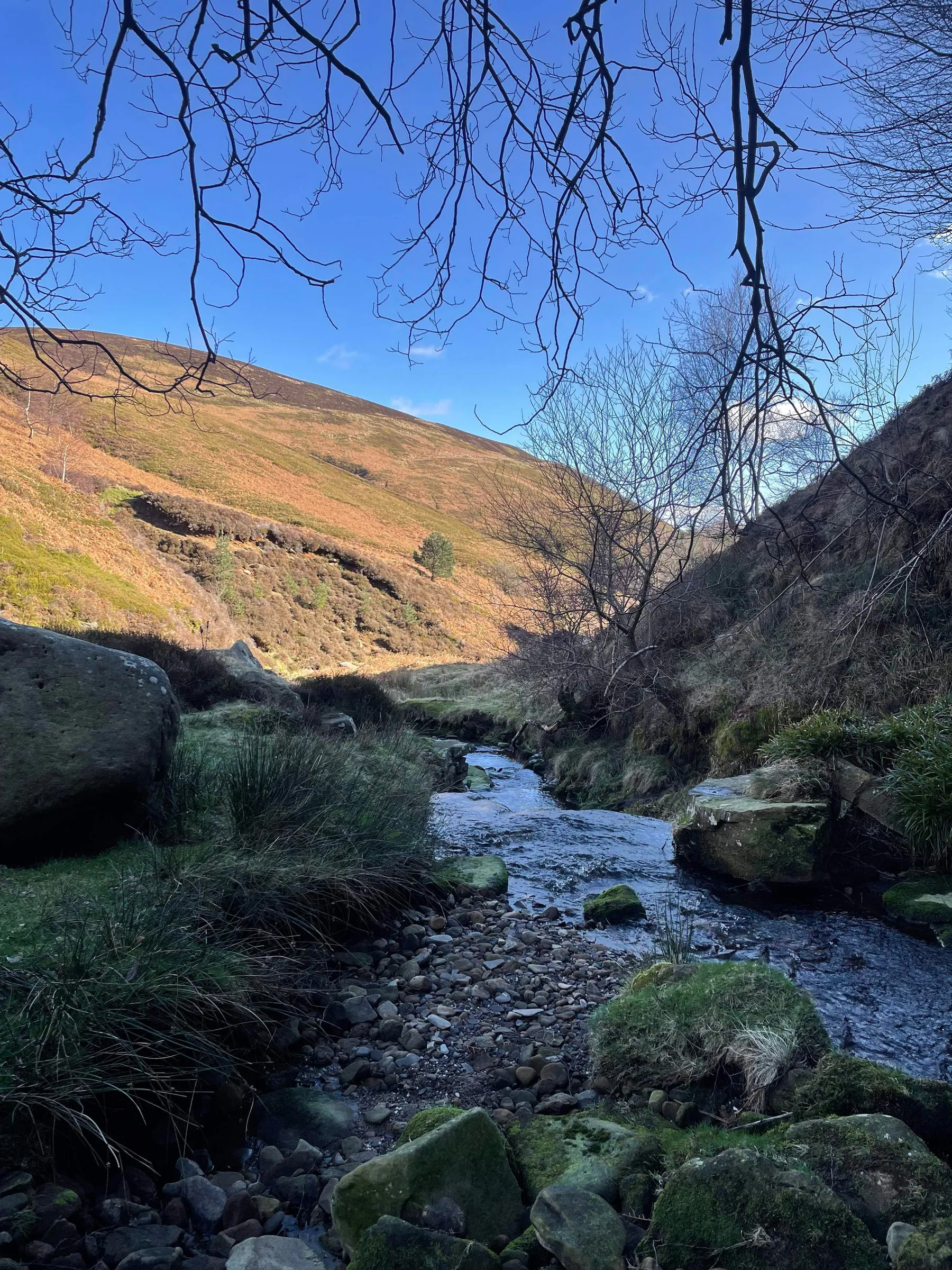
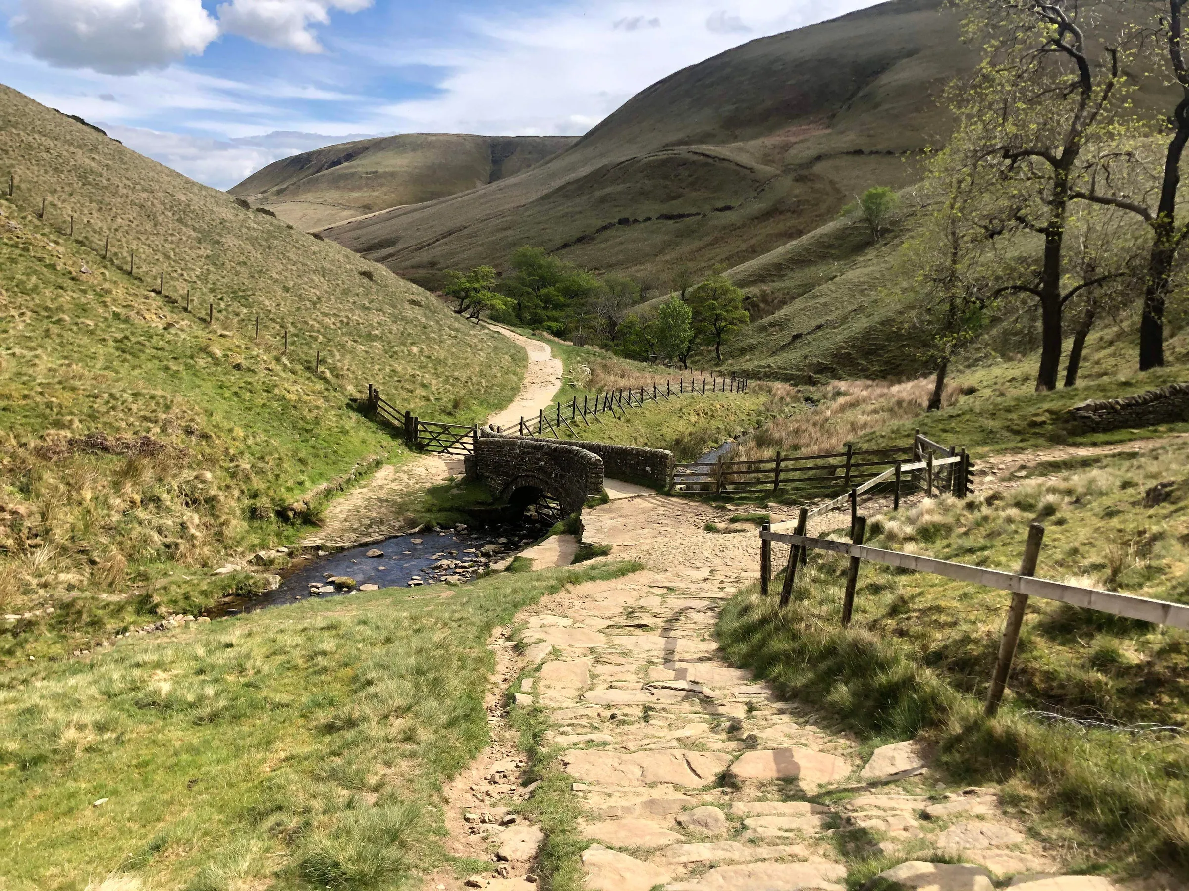
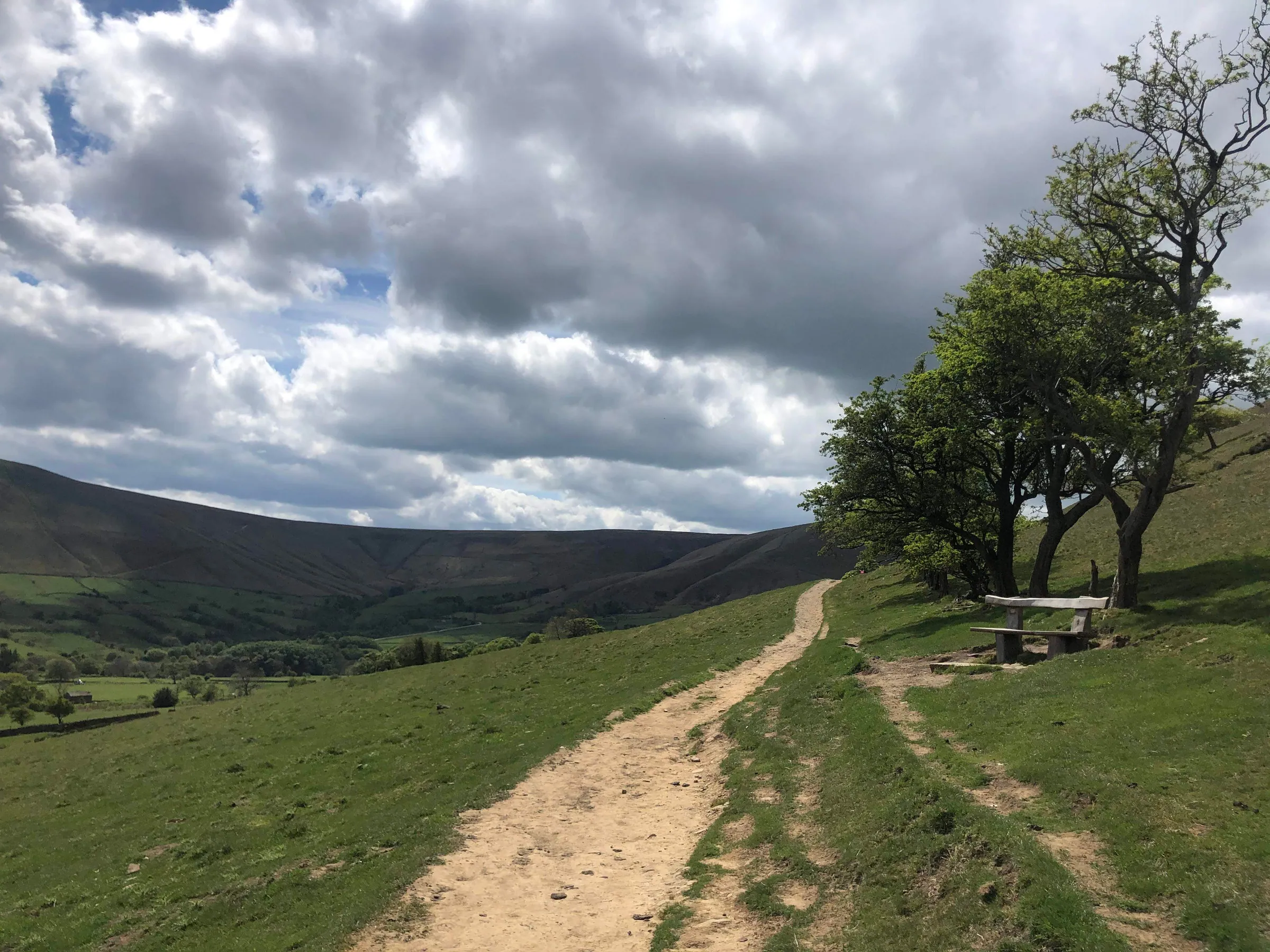
This circular route begins in the peaceful village of Edale, surrounded by rolling hills and stone cottages. The trail climbs steadily through Grindsbrook Clough, where streams tumble between steep rocky sides before opening out onto the Kinder Plateau. Up here the land feels otherworldly, a maze of gritstone tors, weathered boulders and dark peat channels shaped over centuries by rain and frost. This trail is worth the effort, with sweeping views over the Edale Valley and across to the Great Ridge. From the plateau the descent via Jacobs Ladder offers a gentler return, with flagstone paths winding to the valley floor.
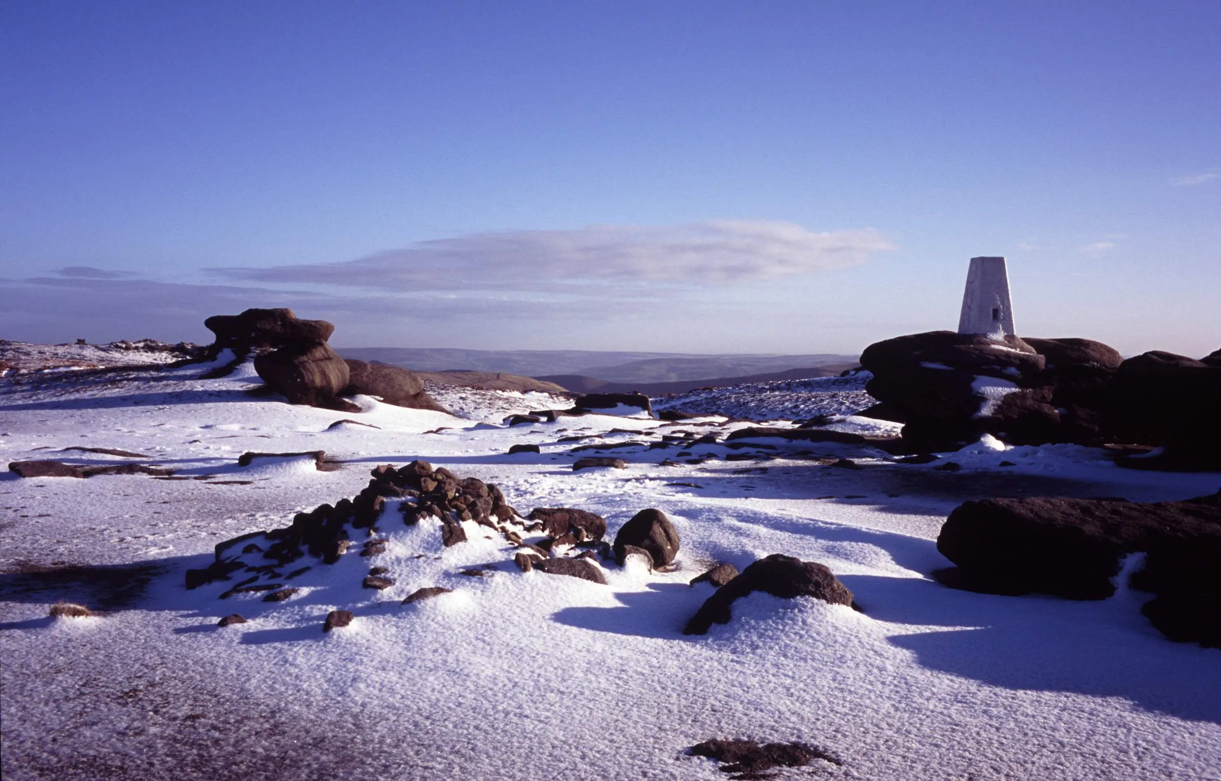
At 636 metres, the true summit of Kinder Scout is marked by a modest cairn, though most walkers aim for the nearby Kinder Low trig point at 633 metres. Both points capture the essence of the Peak District’s spirit, offering a feeling of vastness and solitude that few other places in England can match. The mix of raw terrain, changing weather and open horizons gives Kinder its lasting appeal, a landscape that challenges, inspires and always calls you back.
Go prepared, stay safe and enjoy the hike!
key info
duration: 4 - 6 hours
length: 8.3 miles
type: circular
total ascent: 562m
difficulty:
our rating:
Crowd levels: High
signage: LOW
toilets: Start ↗
parking
The hike starts at the High Peak Borough Council pay and display car park (postcode S33 7ZL), it's fairly reliable for getting a space and it's located next to the village hall in the centre of Edale. The car park is open 24 hours a day, 365 days a year, it's pay-and-display, and for cars it costs:
-
£1.60 for up to 1 hour
-
£2.50 for 1 to 2 hours
-
£4.00 for 2 to 4 hours
-
£6 for 4 to 10 hours
-
£7 for 24 hours
-
£120 for 3 months
For coaches and motorhomes, it costs:
-
£5.50 for up to 4 hours
-
£10.50 for over 4 hours
These prices are correct at the time of writing however for the most up-to-date pricing click here ↗. The parking ticket machines accept coins and you can pay using the PayByPhone app. There are 138 car parking spaces and it can fill up quickly depending on the time of year, the day of the week, and/or the weather, but there are always people coming and going and I've personally never had to wait for longer than 5 minutes.
There are several alternative car parks that are also located very close to the start of the hike; these alternatives can be found in the alternative parking section below and one of them is free. For those using public transport, click ''Directions'' on the map above and change the method of transport in the top left of the Google Maps page to ''Public Transport'' (the little blue train).
Alternative parking
3 minute walk to start of hike*
1 minute walk to start of hike**
2 minute walk to start of hike***
*Free layby which is nearly always full
**Costs £4 for 24 hours (correct as of November 2022) but there are only 20 spaces and strictly speaking they are for rail users
***Overflow to the main car park which costs £5 per day but is only open on weekends during the summer months (correct as of November 2022), bring cash
3D route map
Map Key

Play Route

Birds Eye View

Pause Route


Fullscreen

Restart Route

Zoom In


Centre Camera

Zoom Out

Cinematic View

Change Layer
Speed Control
Navigation
Choose your preferred way to navigate this hike. Use the interactive route map above, download the GPX file, or open the route in your preferred navigation app.
Disclaimer: Route information and GPX files are provided for general guidance only. Conditions can change, so always use your own judgement and navigate responsibly. See our Terms of Use & Disclaimer for more information.
weather

kinder scout
other forecasts
gallery
hints & Tips
Grindsbrook Climb
The climb through Grindsbrook Clough is the toughest and most technical part of the hike. The upper section becomes steep and rocky, and you’ll need to use your hands in places. Take extra care when the rocks are wet or icy.
Kinder Scout Summit
Although Kinder Scout is the highest point in the Peak District, this hike doesn't visit its true summit. Instead, it heads to Kinder Low, which sits just 3 metres lower at 633 metres. Unlike the true summit, Kinder Low has a trig point, fantastic views and is much more rewarding to visit. Reaching the actual summit involves a detour across rough, boggy ground with no views or obvious landmark, so unless you're trying to tick off every summit, you're not missing much.
Exposed Summit
There is very little shelter once you're on Kinder Scout. Even on warm days in Edale, it can feel much colder and windier on the plateau.
Peat Bogs
Large areas of Kinder Scout remain boggy throughout the year. Waterproof boots are highly recommended, especially after prolonged rainfall.
Crowded Weekends
Kinder Scout is one of the Peak District's most popular hikes. If you'd rather avoid the crowds, visit on a weekday or start later in the afternoon, when many walkers are already heading back down.
Facilities & Hospitality
Toilets:
-
Edale Car Park ↗: I'm unsure if you need to pay so take coins and a card just in case*
-
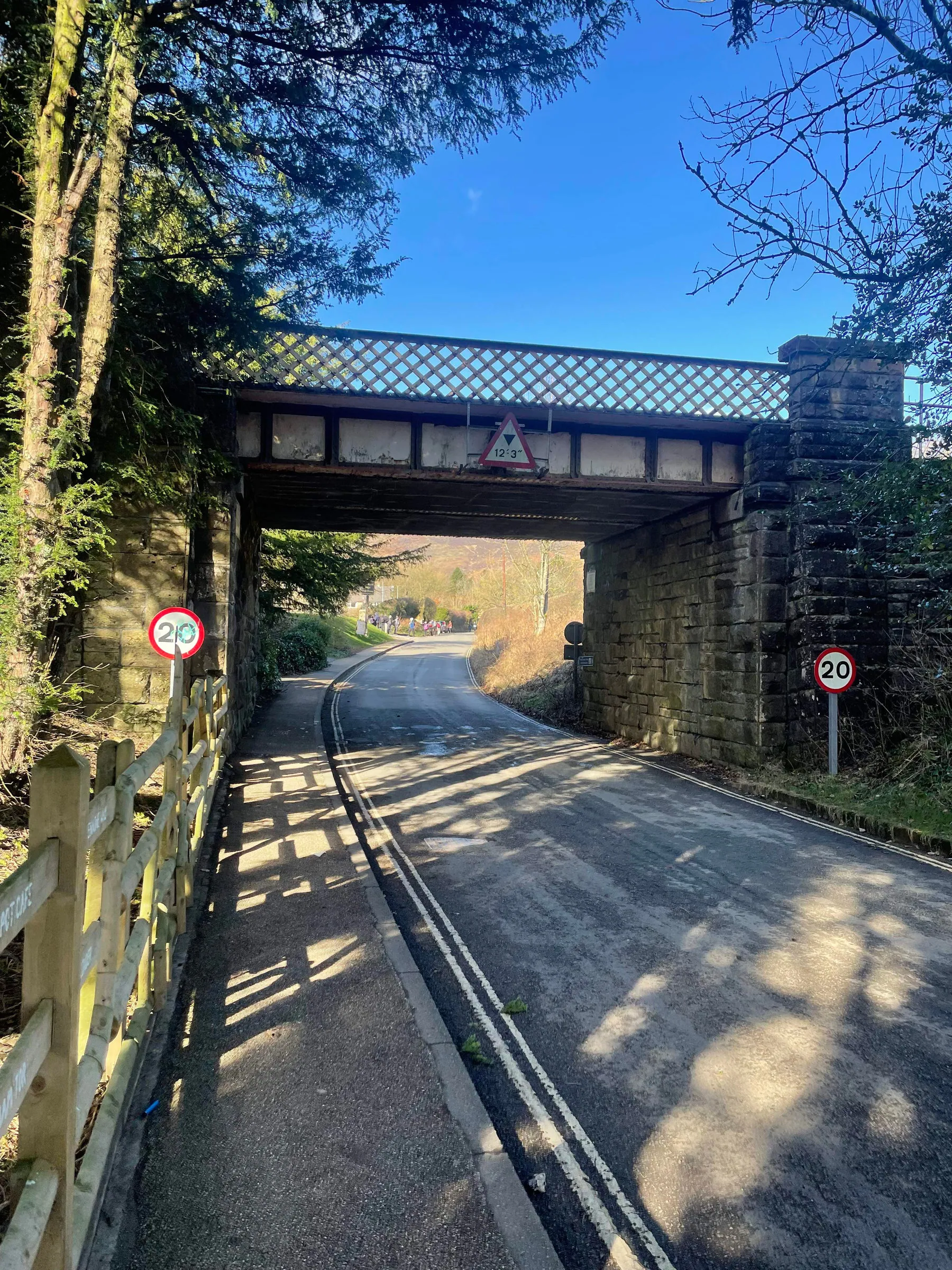
The Rambler Inn ↗: Located north of the car park, it's on your left just after the railway bridge
-
Old Nags Head Pub ↗: Located at the end of Marys Lane in the centre of the village
*I've never actually used the Edale car park toilets so I'm not sure if you have to pay. I'll check next time I'm around there but if anyone knows, please use the contact form in the footer and let me know 😊
Wi-Fi:
-
Edale Train Station ↗: Turn right out of the car park main entrance, then take your first right and follow the signs for the station
-
The Rambler Inn ↗: Located north of the car park, it's on your left just after the railway bridge
-
Old Nags Head Pub ↗: Located at the end of Marys Lane in the centre of the village
Food & Drink:
-
The Penny Pot Cafe ↗: Turn right out of the main car park entrance, then take your first right and then your first left. More info ↗.
-
The Rambler Inn ↗: Located north of the car park, it's on your left just after the railway bridge. Food menu ↗.
-
Old Nags Head Pub ↗: Located at the end of Marys Lane in the centre of the village. Food Menu ↗.
Accommodation:
-
The Rambler Inn ↗: Located north of the car park, it's on your left just after the railway bridge. Book a room ↗.
-
Old Nags Head Pub ↗: Located at the end of Marys Lane in the centre of the village. Book a room ↗.
Interesting Facts
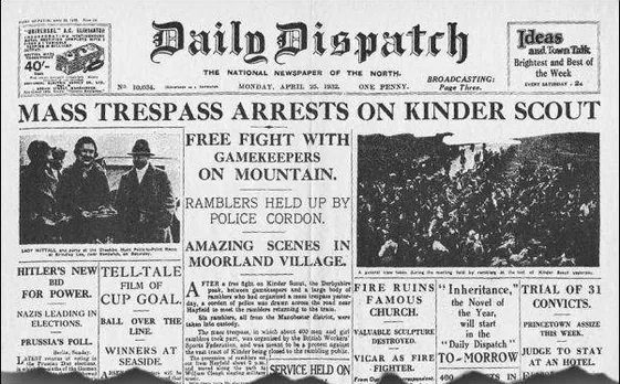
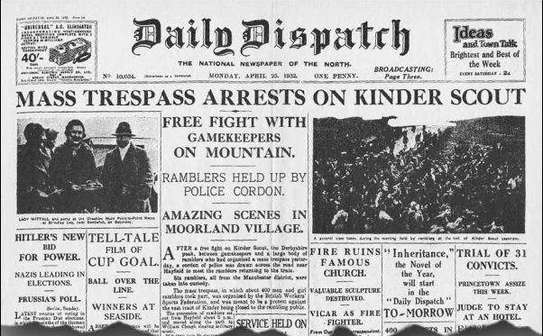
The 1932 mass trespass, also known as the Kinder Trespass, was a significant event in the history of the British rights-of-way movement. On April 24, 1932, a group of over 400 hikers and ramblers marched onto Kinder Scout, a moorland in the Peak District, to protest against the exclusion of the public from much of the country's open countryside. This peaceful demonstration marked a turning point in the struggle for access to Britain's rural landscapes, and paved the way for the creation of national parks and the eventual expansion of the public rights-of-way network.
Although the trespass was met with resistance from gamekeepers and police, no serious violence occurred and five of the protesters were eventually sentenced to prison terms for their actions. Despite this, the Kinder Trespass inspired a nationwide movement for greater access to the countryside, and its legacy can still be seen today in the form of the extensive network of footpaths and open spaces that are accessible to the public. The Kinder Trespass remains an important symbol of the fight for the public's right to roam, and serves as a reminder of the importance of preserving and protecting access to our natural heritage for future generations. Click here ↗ if you'd like to learn more.

our mission
This website was created during the second coronavirus lockdown, a time when the nation's collective mental health was at an all-time low. Hiking can provide a psychological reset, a way of forgetting the daily challenges we face and connecting with the healing powers of Mother Nature. Our mission at The Lost Peak is to make people happy by providing an easy-to-use and informative resource for exploring the Great British outdoors.