Aberglaslyn & Llyn Dinas
>
>
>
Aberglaslyn & Llyn Dinas
contents
Overview
With winding trails through ancient woodlands and a dramatic gorge with rocky passes, this hike embodies Welsh beauty
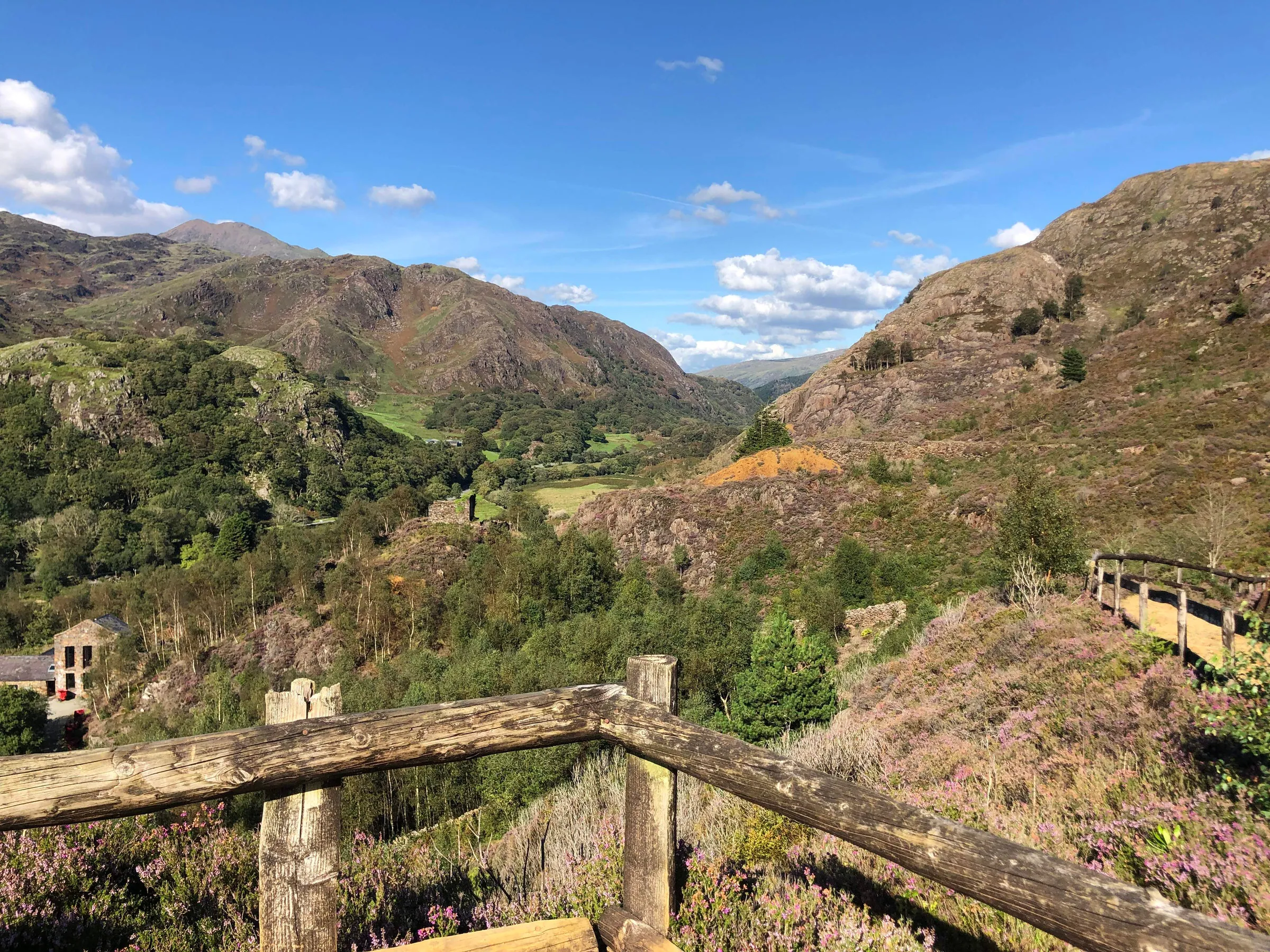
Set within the heart of Eryri, this walk explores one of the most distinctive and characterful valleys in the area. Winding through woodland, river gorge, village paths and lakeside tracks, the route offers constant variety without the need for a major climb. This mix of landscapes is closely linked to the way the valley has been used over time, with the area having a long history of movement and industry. For centuries, the Glaslyn valley was used as a natural route through the mountains, while the remains of copper mining around Llyn Dinas date back to the nineteenth century.
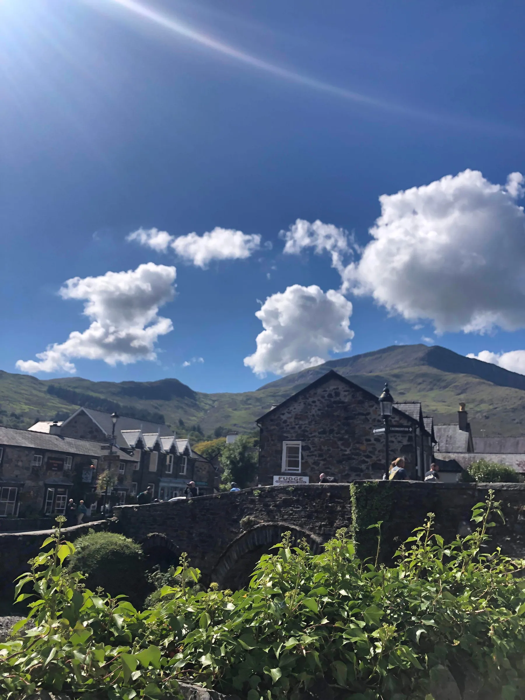
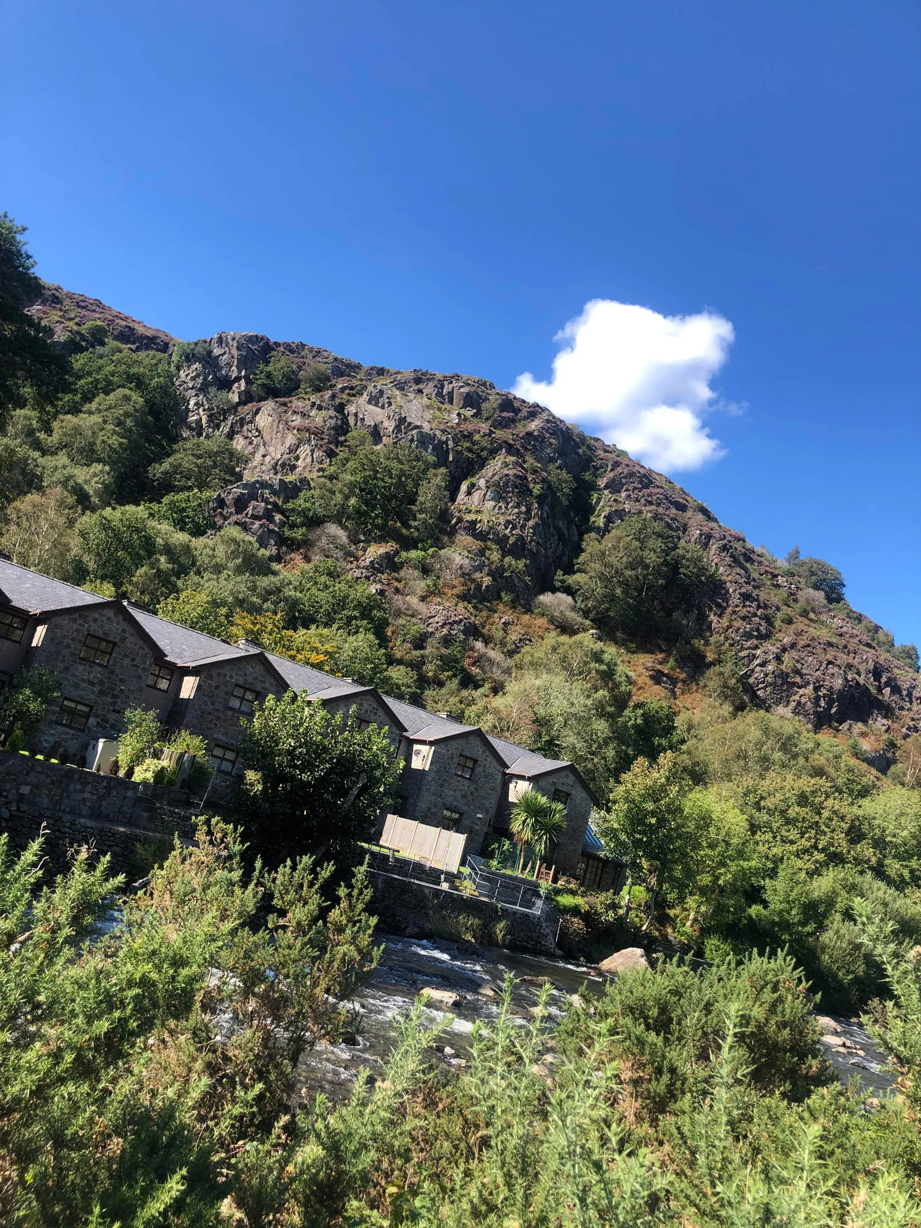
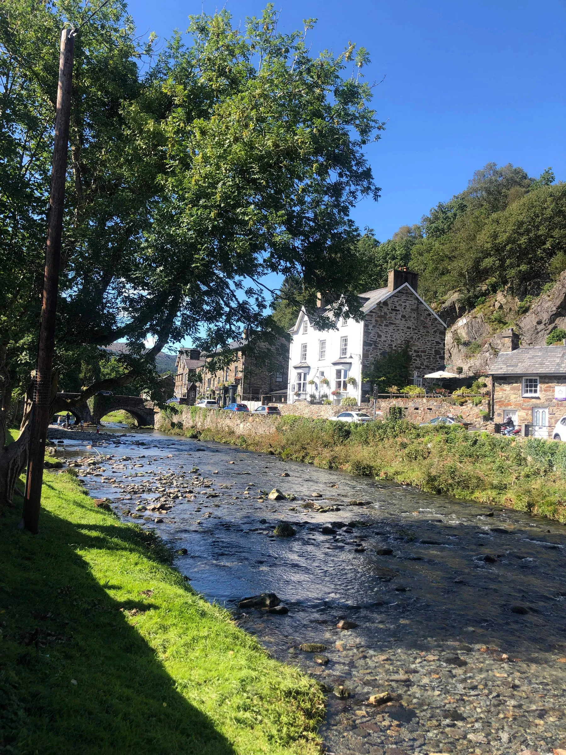
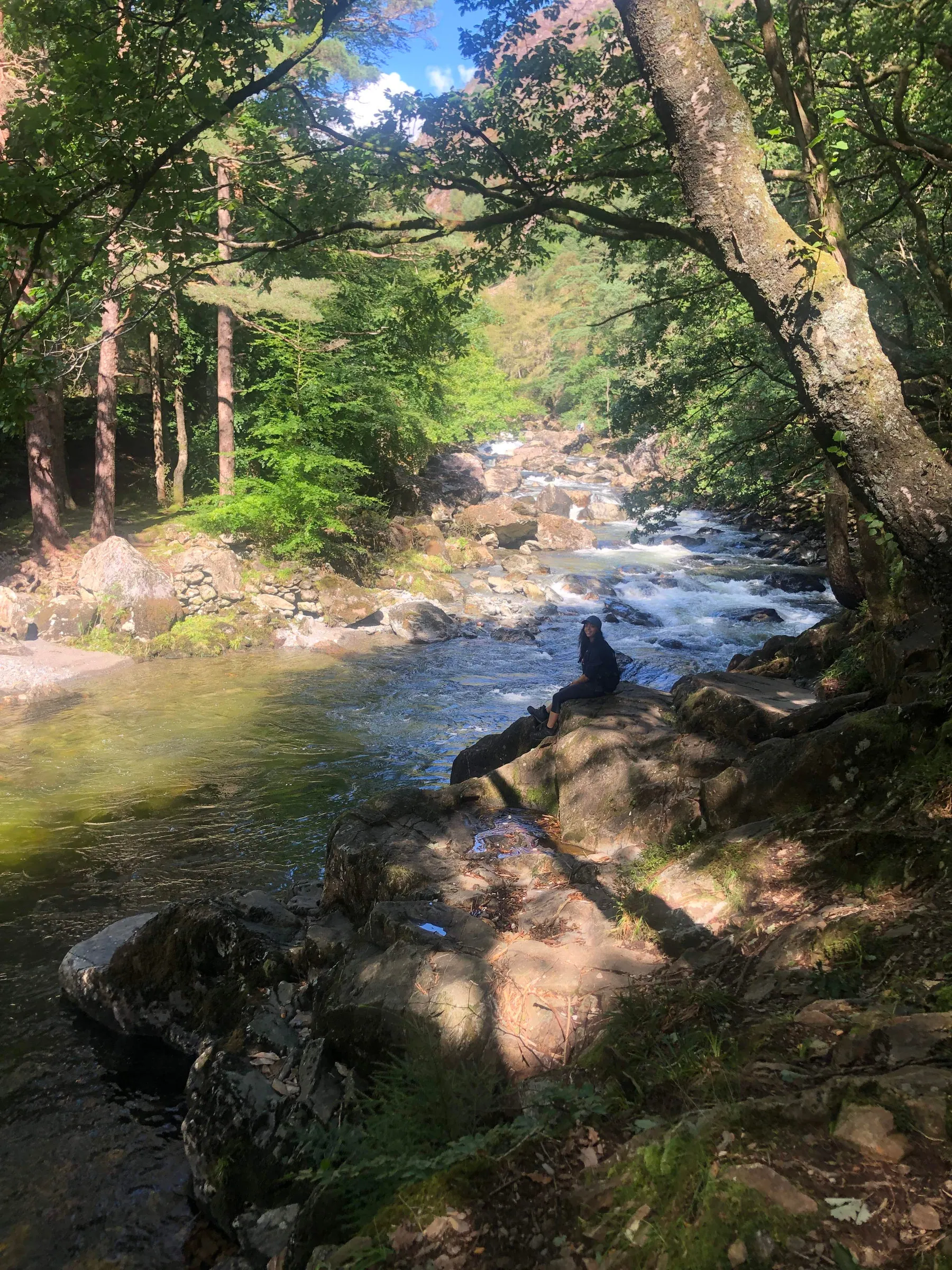
From Nantmor, the route heads into woodland before joining the Afon Glaslyn as it cuts through the Aberglaslyn Gorge. This section follows a narrow riverside path through rock and trees, with the gorge walls rising close by and the sound of the river never far away. It is one of the most memorable low level sections in Snowdonia, dramatic without being difficult and easy to follow throughout. The route passes through Beddgelert, using a mix of village paths and river crossings to link the two halves of the walk. Stone bridges and open riverside space briefly replace the enclosed feel of the gorge, giving a clear change of setting before the path leaves the village and continues along the valley.
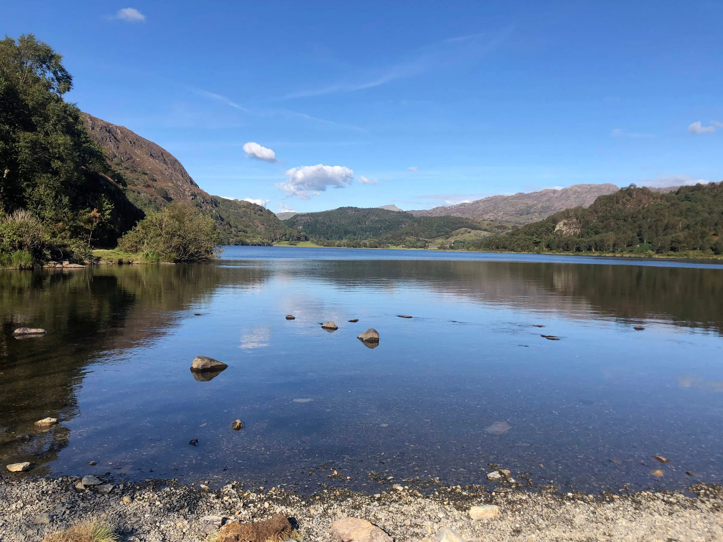
Leaving the village, the route follows established paths along the edge of Llyn Dinas, staying close to the water for much of the way with long views across the lake and surrounding hills. The path remains clear and easy to follow as the valley gradually broadens. Old copper mine remains signal the turn back toward Nantmor, followed by a steady climb that brings the walk toward its finish.
Go prepared, stay safe, and enjoy the hike!
key info
duration: 3 - 5 hours
length: 5.7 miles
type: Circular
total ascent: 358m
difficulty:
our rating:
Crowd levels: medium
signage: medium
toilets: Start↗ & Beddgelert Village↗
parking
Alternative parking
Located part way through hike*
*Between the 1st of November and the end of February the car park is free. Between the 1st of March and the 31st of October, the car park costs £3.30 for up to 6 hours, £4.40 for between 6 and 12 hours, and £5.50 for between 12 and 24 hours. There is a height restriction of 2.10m. Parking tariffs apply 7 days a week, and overnight parking is allowed. The payment machines accept coins or you can pay by phone. Information is correct as of December 2023, but up-to-date information can be found here ↗. The postcode is: LL55 4UY.
The hike starts at the National Trust pay and display car park at Aberglaslyn in Nantmoor (the postcode is LL55 4YG but please note that this doesn't take you directly to it so it's best to use the Google map directions above). The car park is quite small, but I never had to wait for a space when arriving around midday on a gorgeous summer day, so hopefully you'll be able to find a space easily. The car park is open 24 hours a day, every day of the year, but overnight parking is not allowed. It costs £5 for the whole day, or it's free if you're a National Trust member. The price is correct at the time of writing (December 2023). The Pay and Display machine only takes cash. The mobile signal at the car park is very poor, so if you're using a navigation app you're best downloading it before you arrive (or download the PDF guide from this page). There is an alternative car park that is located partway through the hike; for more information see the section below. For those using public transport, click ''Directions'' on the map above and change the method of transport in the top left of the Google Maps page to ''Public Transport'' (the little blue train).
3d route map
Map Key

Play Route

Birds Eye View

Pause Route


Fullscreen

Restart Route

Zoom In


Centre Camera

Zoom Out

Cinematic View

Change Layer
Speed Control
route GUIDE
Disclaimer: This route description, map, GPX file, and any related information are provided for general reference only. Conditions on the ground can change at any time due to weather, erosion, access restrictions, livestock, or other factors. You are solely responsible for assessing whether this route is suitable for you, your party, and any dogs, and for making your own decisions regarding navigation, safety, equipment, and timing. Distances, ascent, durations, difficulty indicators, and route lines are approximate and should not be relied upon as exact or comprehensive. By using this guide, you acknowledge that walking and hiking involve inherent risks, and you accept full responsibility for your actions and outcomes. See our Terms of Use & Disclaimer page for more information.
Note: When hiking I use the Ordnance Survey phone app as my main navigation aid, supported by a paper map and compass for emergencies. The OL17 Explorer map covers this hike, it can be bought directly from the Ordnance Survey website here↗ or from Amazon here ↗. When you buy the paper map it gives you a code that gives you free access forever to the digital version on the phone app. I have previously used the Ordnance Survey subscription↗ service, it was amazing, but personally, I like to have both paper and digital maps for those rare times when my phone lets me down.
Note: The walking times in the guide are based on how long I think the average hiker would take to walk the route, it assumes you're not stopping for photos or food, etc., sometimes I'll supplement the durations with distances in meters.
weather

Llyn dinas
other forecasts
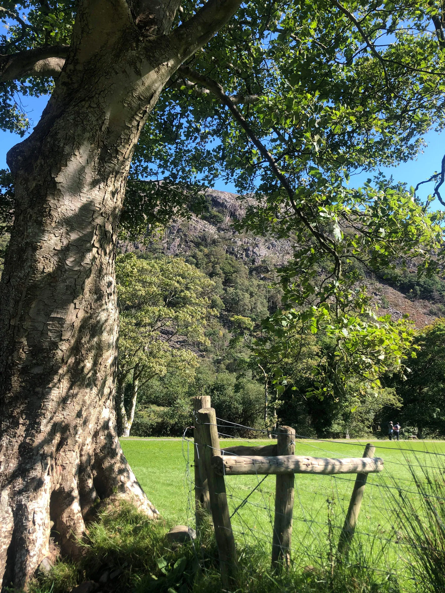
1. Starting at the National Trust pay & display car park in Nantmoor, go through the gate situated at the back of the car park, just to left of the stone toilet block and pay-and-display machine (see image 1), and directly ahead of you, there will be a sign on a stone wall with an arrow to the left for Aberglasyln and an arrow to the right for Cwm Bychan, head left here taking the stone path through the forest. The path heads upwards, past a bench, after which it turns into a set of stone steps. Continue to the top of the steps and follow the clearly defined dirt path through the forest until you reach the gate shown in image 2. Go through the gate and continue to follow the path, which will gradually start to head upwards; to your left you should be able to see a relatively low wooden fence, eventually, the path will run directly alongside this fence as shown in image 3. Continue to follow the path, keeping the fence close on your left until you reach a set of stone steps heading downwards (you should be able to see a road on your left, through the trees). At the bottom of the steps you can either go left, towards an iron gate and the road, or you can go right, continuing through the forest, take the right path.
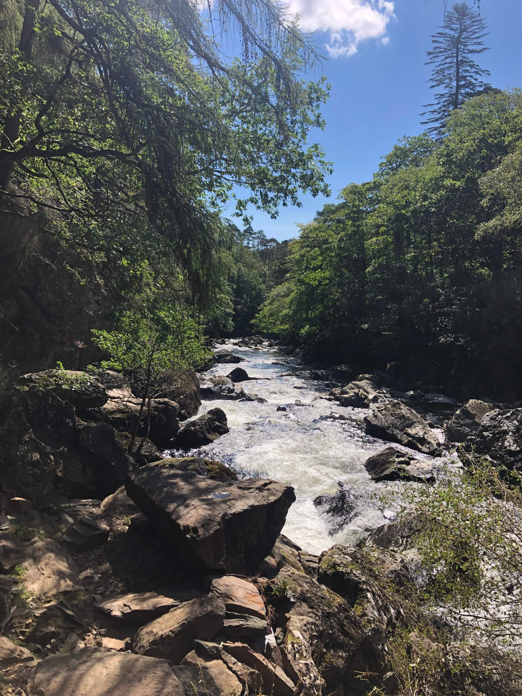
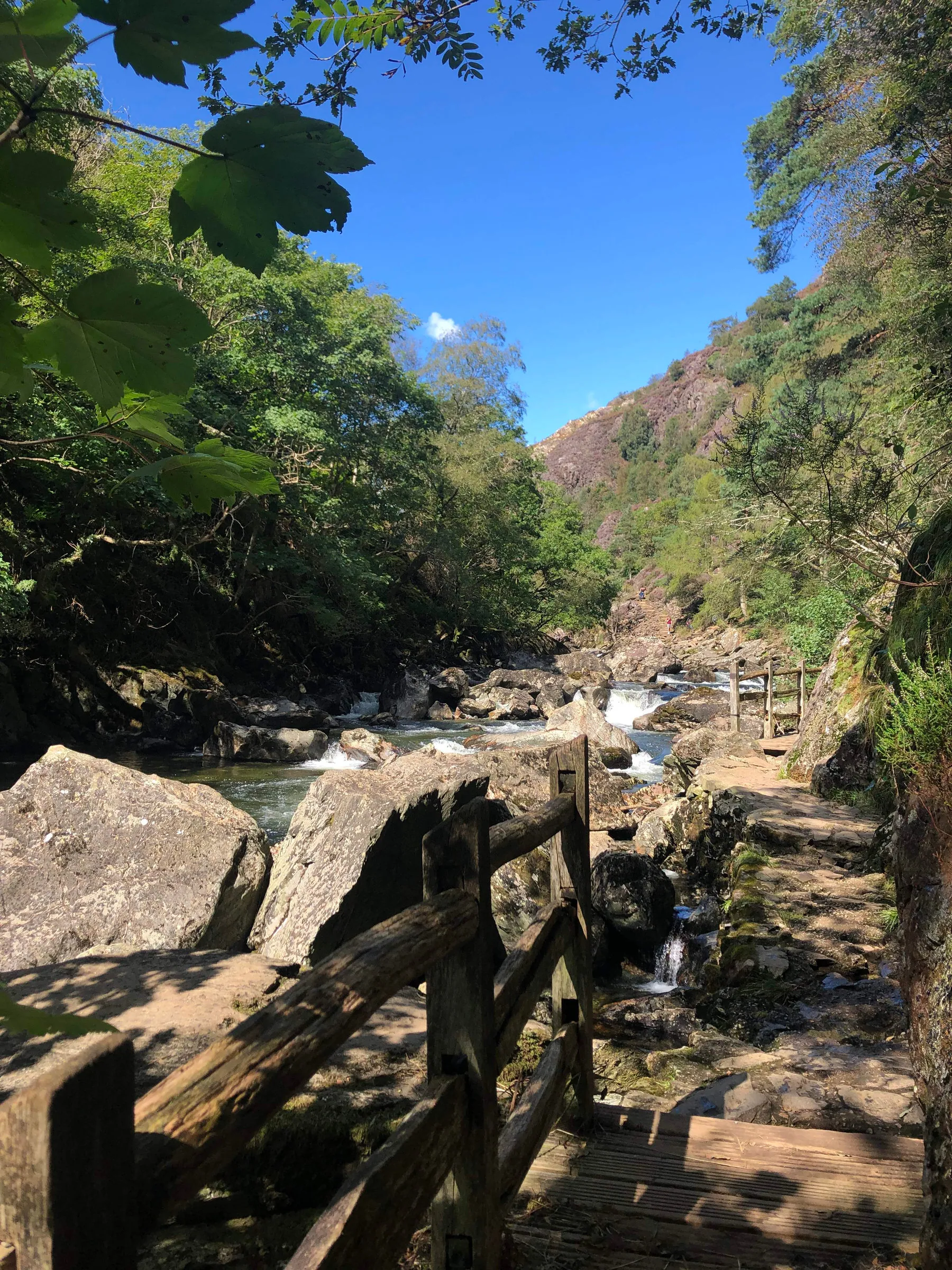
2. You will now be walking with the river Glaslyn (Afon Glaslyn↗) on your left, and heading into Aberglaslyn Gorge. Continue along the clearly defined path as it winds its way through the forest, alongside the river, and through the gorge (see image 4); please note that the path through the gorge can be very uneven, narrow, and slippery in places, handrails are secured to the rock face for some sections and you should use these whenever they're available. Eventually, after exiting the gorge, you'll reach a section of path where it splits into two routes (see image 5), the left path is a continuation of the stones you will have just been walking on, but just leads to the water's edge, the right path is gravelly but is the route you want to take. The route through the gorge is around 0.7 miles long, which would take the average walker about 15 minutes with no stops (you'll most likely be stopping a lot to admire the gorge and other features along the Fisherman's Path, so 30 minutes is probably a more realistic time). Once you have taken the right path, continue forward for around 115 meters until you reach the railway crossing shown in image 6. Cross over the tracks (take care!), turn left, and then head over the footbridge shown in image 7.
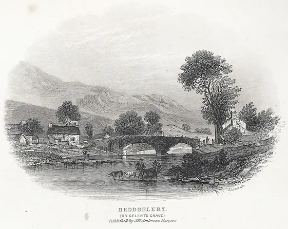
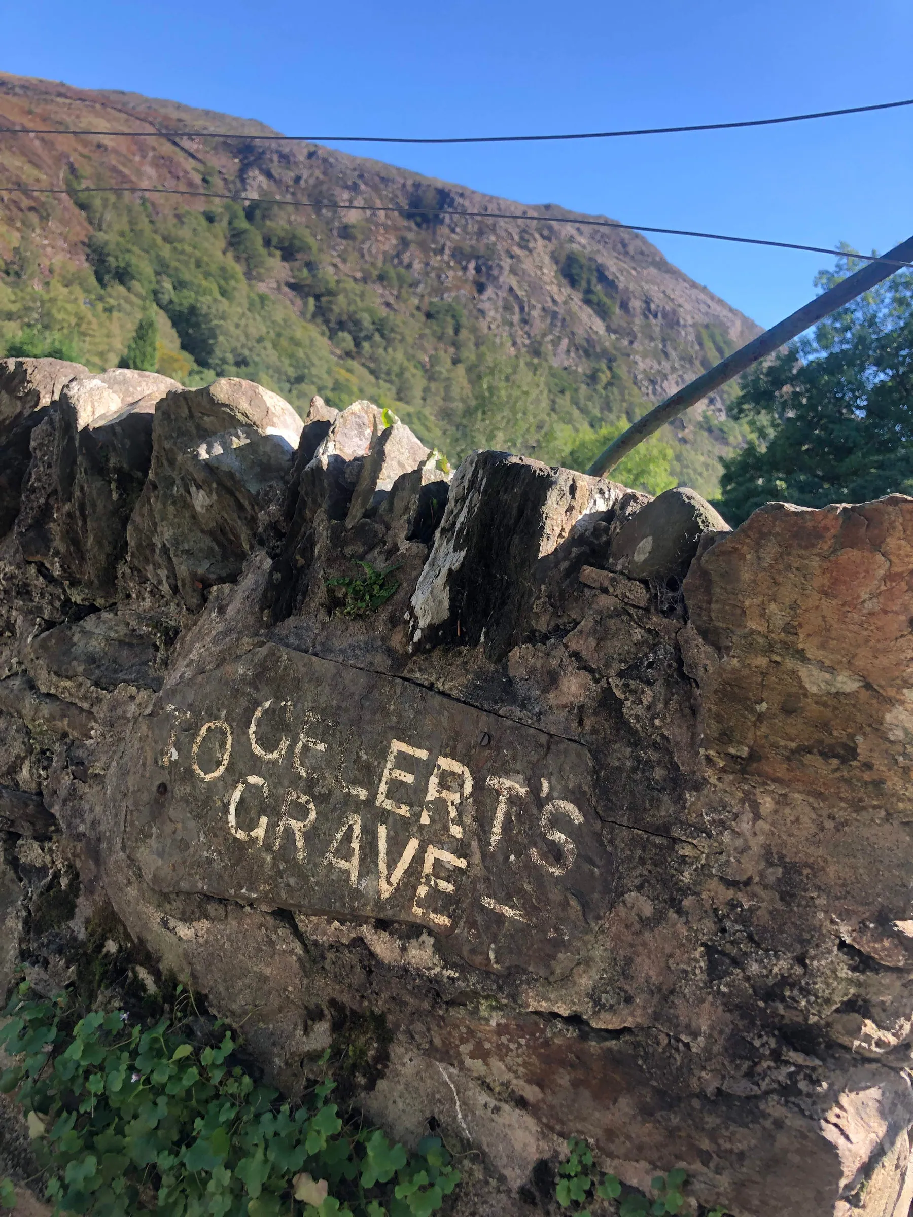
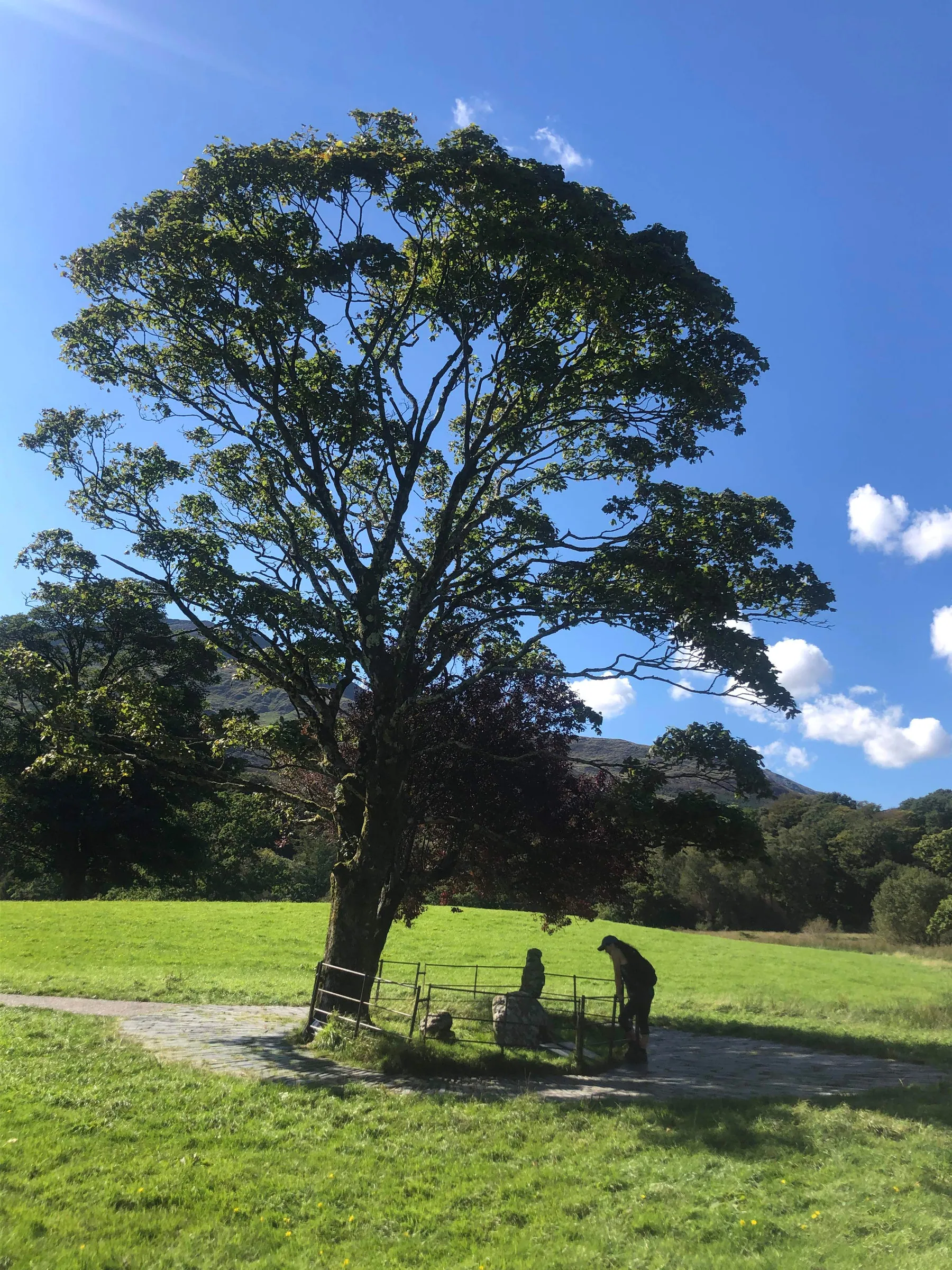
3. Go through the gate at the end of the footbridge and follow the path until you reach another gate that has 2 dolphins on it (I think they're dolphins anyway 🤷🏼), this short walk of around 120 meters will take around one minute. Go through this gate and again follow the path until you reach another gate, this time next to a small stone building which is on the bank of the river Glaslyn. Go through the gate and turn left, then follow the path until you reach the ruin of an old stone house with a low entryway (see image 8). Inside you'll find a bronze sculpture of Gelert the faithful hound (head to the Interesting Facts section for more info), who you'll learn more about during your next stop. Once you leave the house, take the path to the left and follow it to the two trees and stone monument in the middle of the field, surrounded by an iron gate (see image 9), this is Bedd y Ci (which translates to "the dog's grave", referring to Gelert). In front of the large stone monument, there are 2 black plaques, one in English and one in Welsh, each telling the same story of Gelert, the faithful hound of the medieval Welsh Prince Llewelyn the Great. The large stone behind the plaques is said to mark the burial place of Gelert.
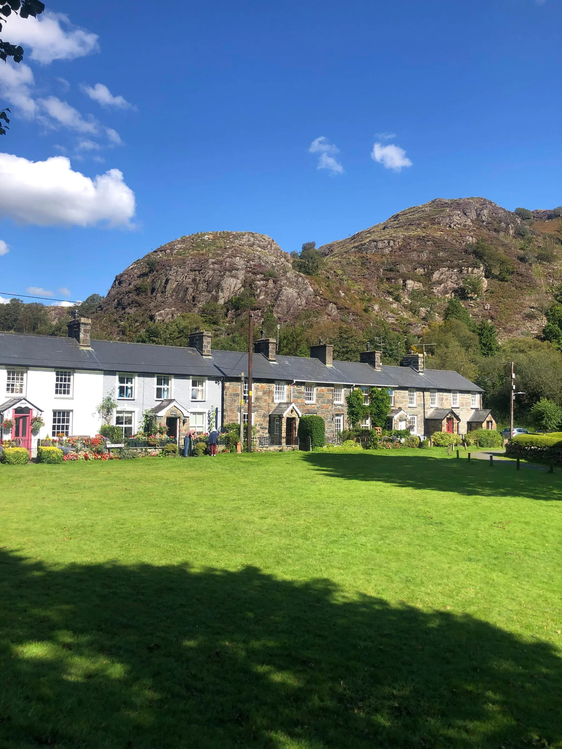
4. After admiring the historical grave, continue to follow the path through the field (keeping both the ruined house and Gelert's grave behind you), until you reach the gate shown in image 10. Go through the gate, take a right, and follow the path until you reach the river and then turn left. Walk along this stunning route, with the river flowing to your right and an old stone church in front of you on the left side of the path; you're about to enter the spectacular Beddgelert (head to the Hints & Tips section, for info about nice places to eat, toilets, Wi-Fi and more). At the end of the path there is a concrete ramp and a green bridge beyond it, go up the ramp, through the ornate metal gate, and turn left if you want to explore Beggelert or right and across the green footbridge if you want to continue with the walk. At the end of the bridge, take the path to the left, heading towards the row of beautifully coloured stone houses (see image 11). The path continues to the left of the houses, right next to the river, and eventually comes out near another green bridge. Don't go over the bridge, instead, right in front of you there will be a wooden gate (see image 12), head through this and continue on the gravelly path until you reach another wooden gate, which you need to pass through.
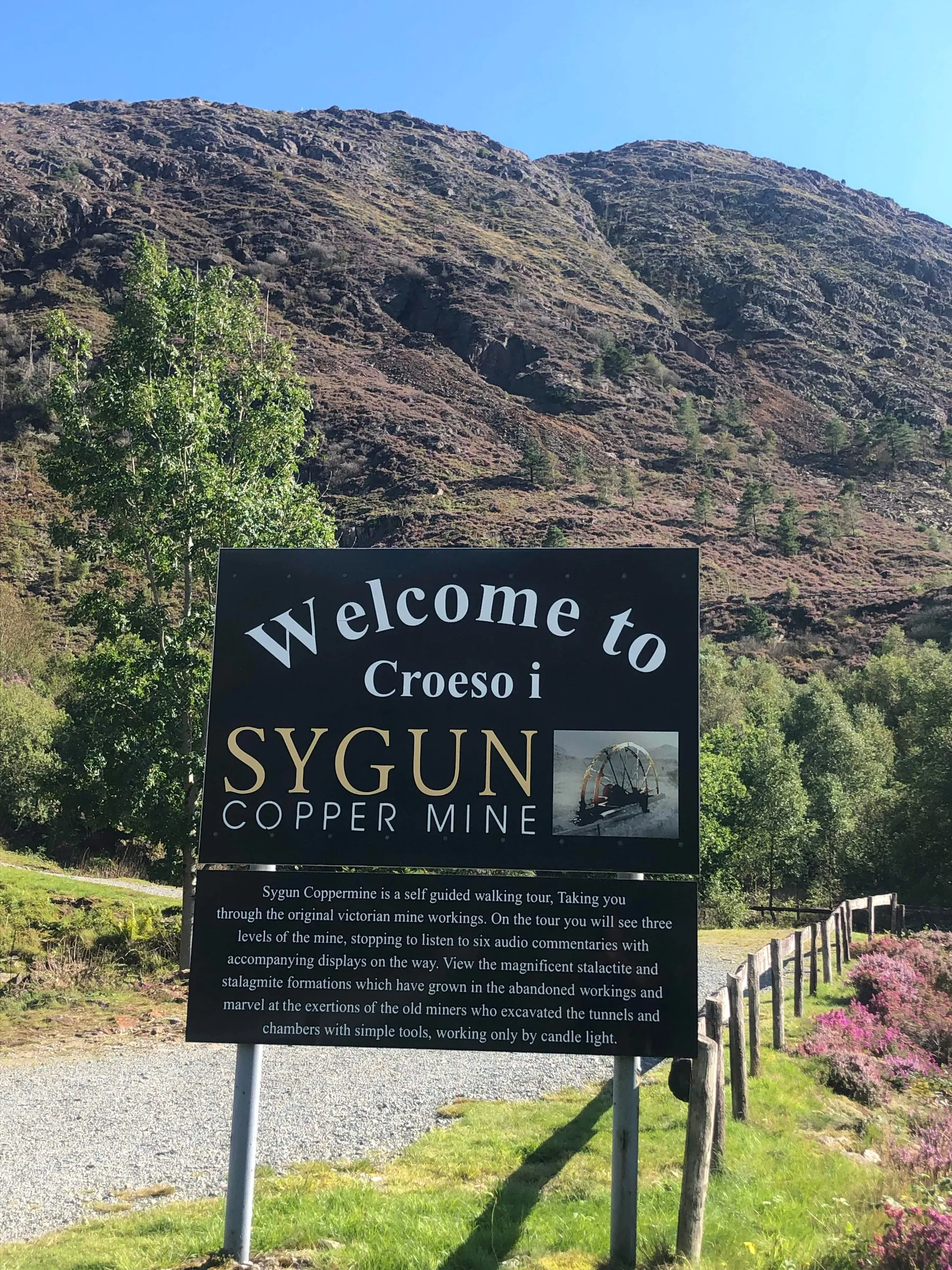
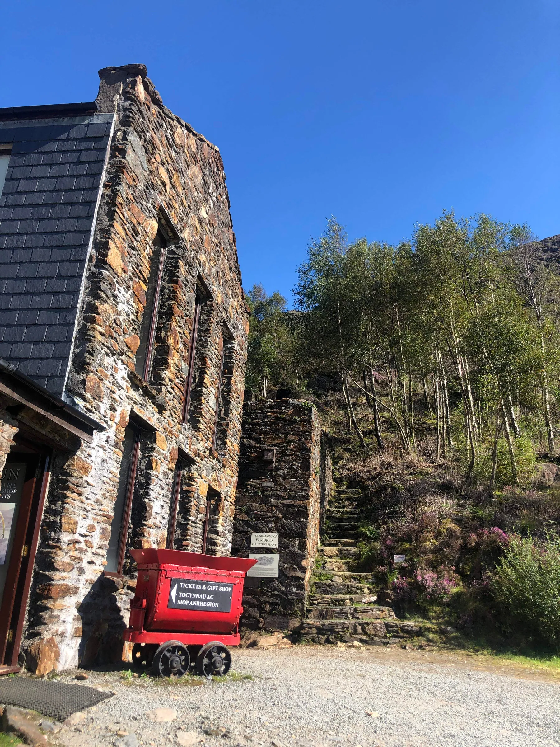
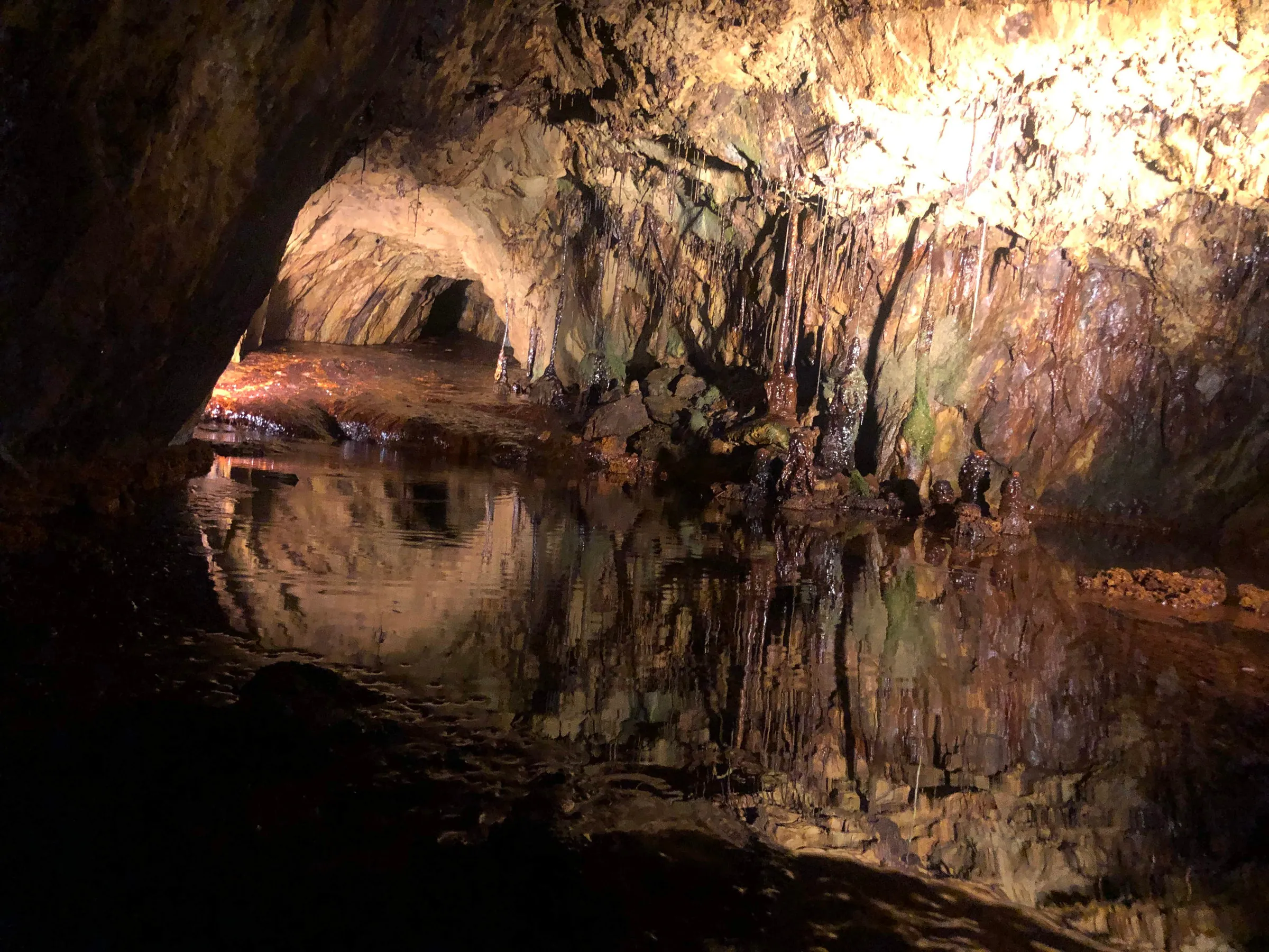
5. Beyond this gate, the path turns from gravel to stone, and your surroundings become a little more rugged. Follow this path as it runs next to the river Glaslyn on your left; you'll eventually see a small, abandoned stone building on your right, after which the path turns gravelly again, and not far in the distance you should be able to see another bridge with green railings. The path will lead you to a black metal gate, right next to the bridge, which you need to pass through and then turn right (i.e. the opposite way to the bridge). Follow this path/road until you reach the Sygun Copper Mine↗ (see image 13); from the black metal gate near the bridge to the mine, it's just under one mile, which will take roughly 20 minutes to walk without stopping. The path/road is wide and obvious the entire way, there are no side roads so you can't go wrong. Image 14 shows an overview of the route from the gate to the mine. When I did this walk, I wasn't even aware that the mine existed, however, it looked too enticing to pass up and I spent a fun couple of hours there, exploring the museum and the caves; I highly recommend a visit (see the interesting facts section for more information).
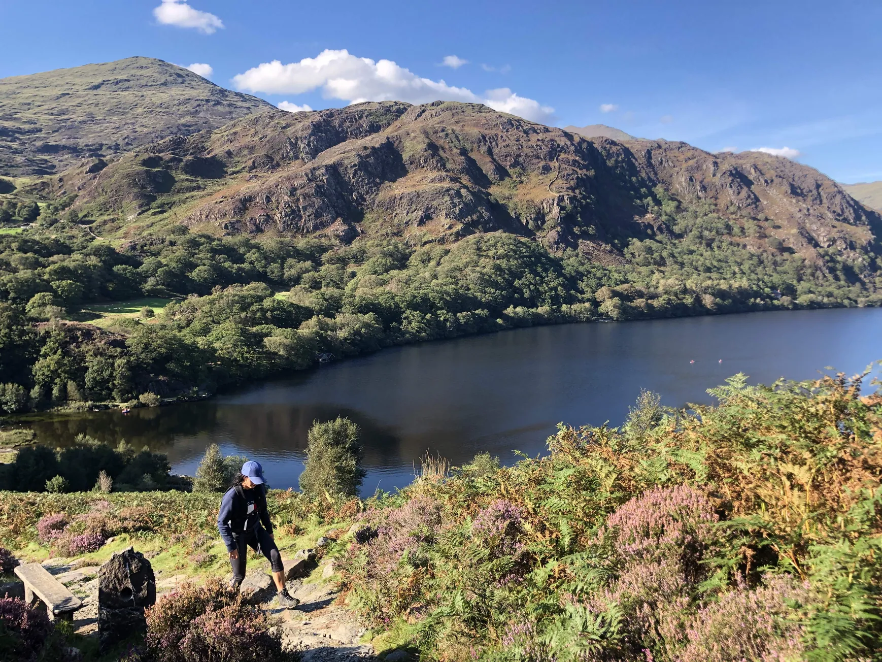
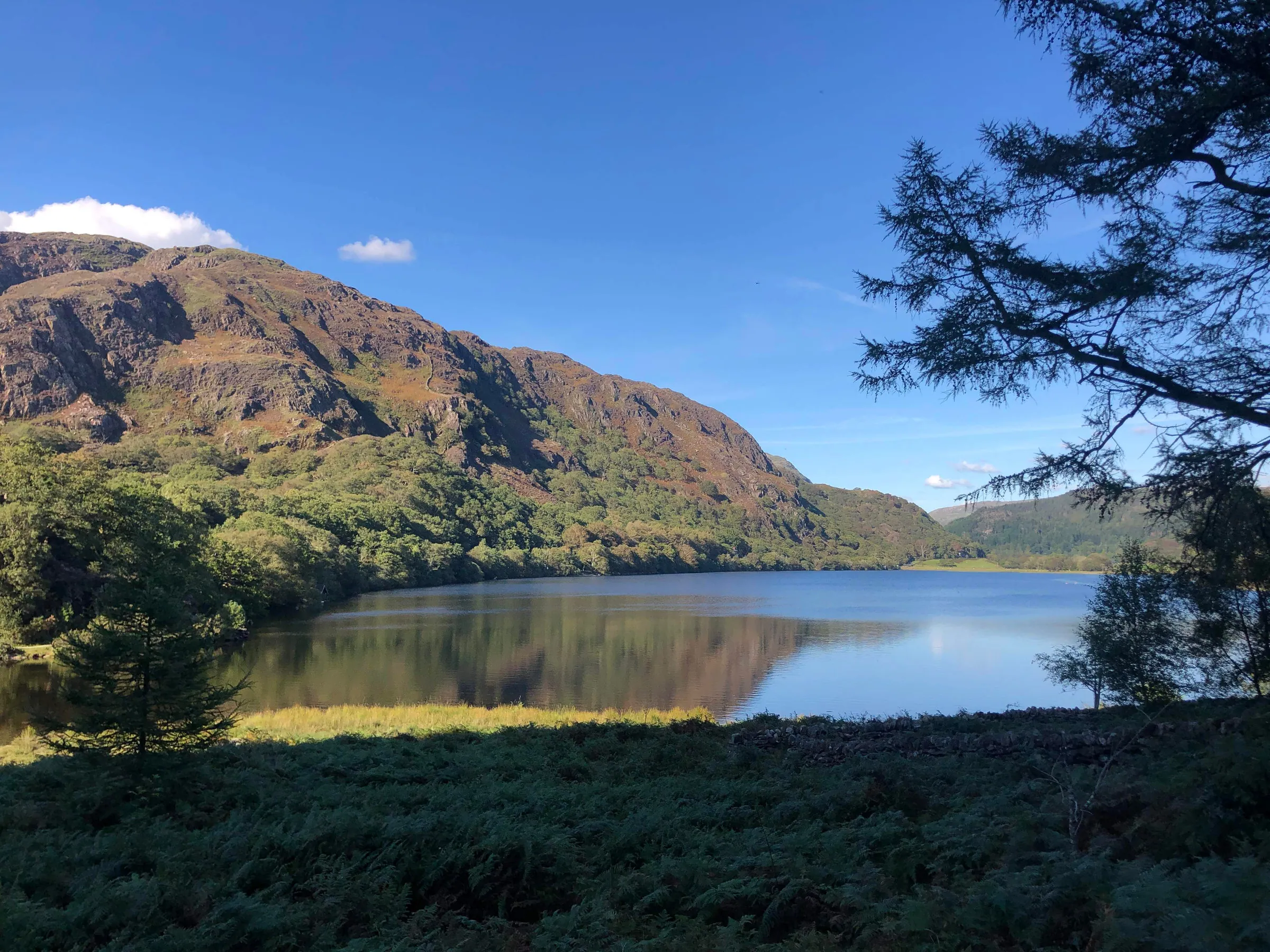
6. Follow the path left if you didn't enter the mine, or if you did, go straight ahead (see image 15) and follow the road past the mine car park on your right, and then where the road splits, take the right path through the forest (image 16). The path runs from the forest to Lyn (lake) Dinas, it's 900 meters in total between these points which will take around 10 minutes to walk; don't take any side paths (I think there's only one, on the left, just before you reach the lake) just stick to the main path until you reach the wooden gate near the lake (see image 17 for an overview of the route from the mine to the lake). Head through the gate (the stony beach on the shore of Llyn Dinas is a great lunch point on those nicer days) and then follow the path to the right, keeping the lake on your left. After walking for about 10 seconds or so, there will be a stone path heading upwards to your right, it's very easy to miss, so see image 18 so you know what to look for.
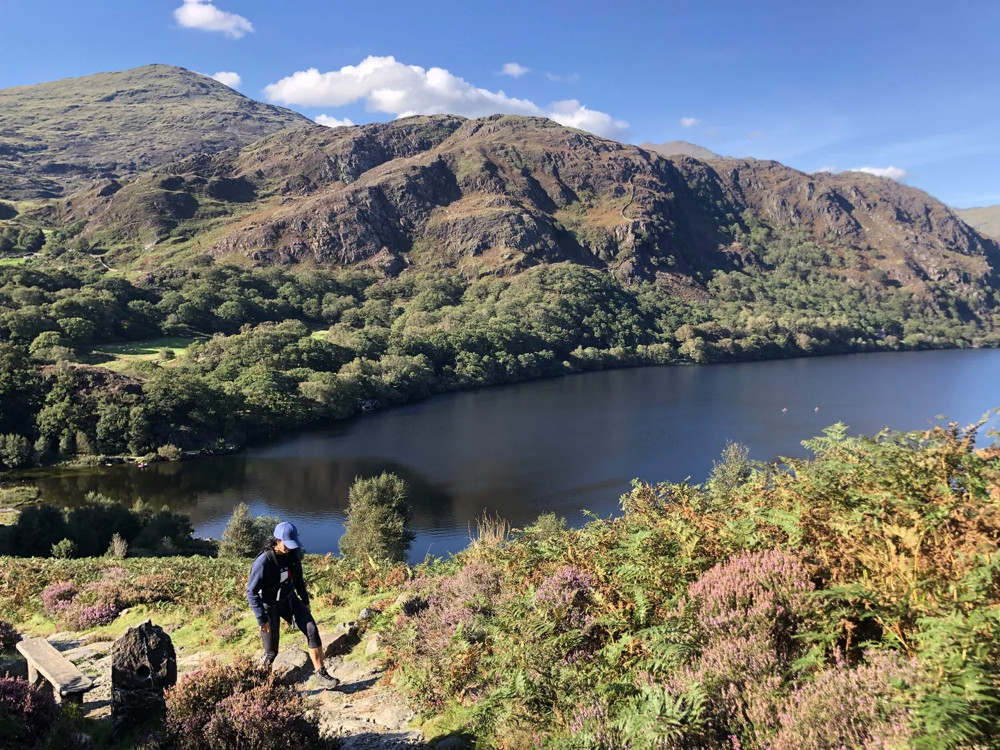
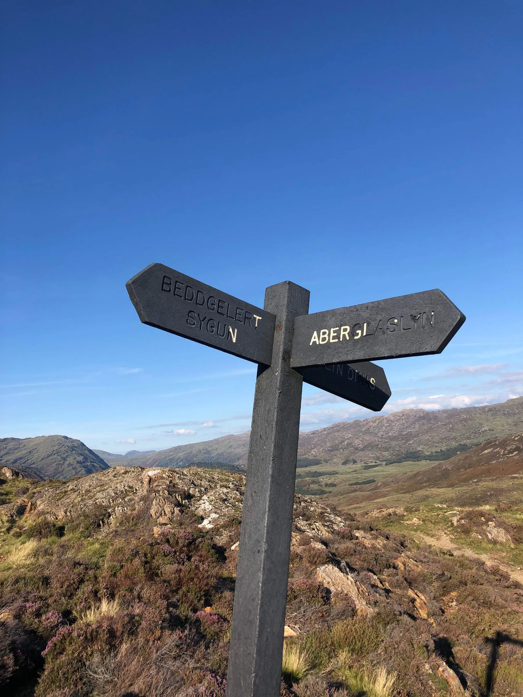
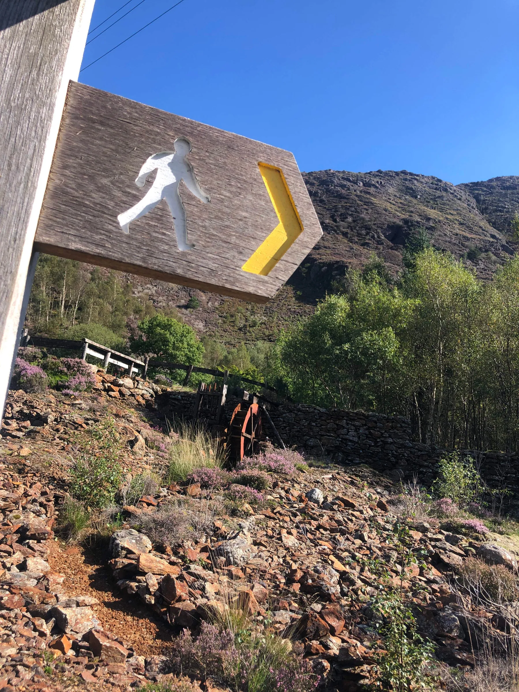
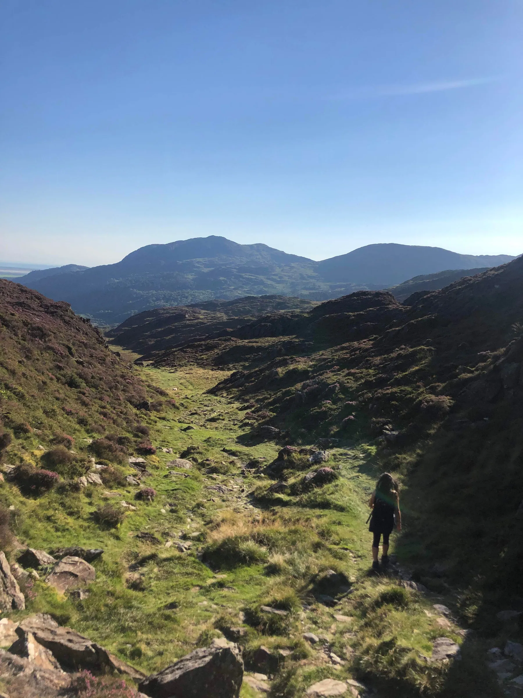
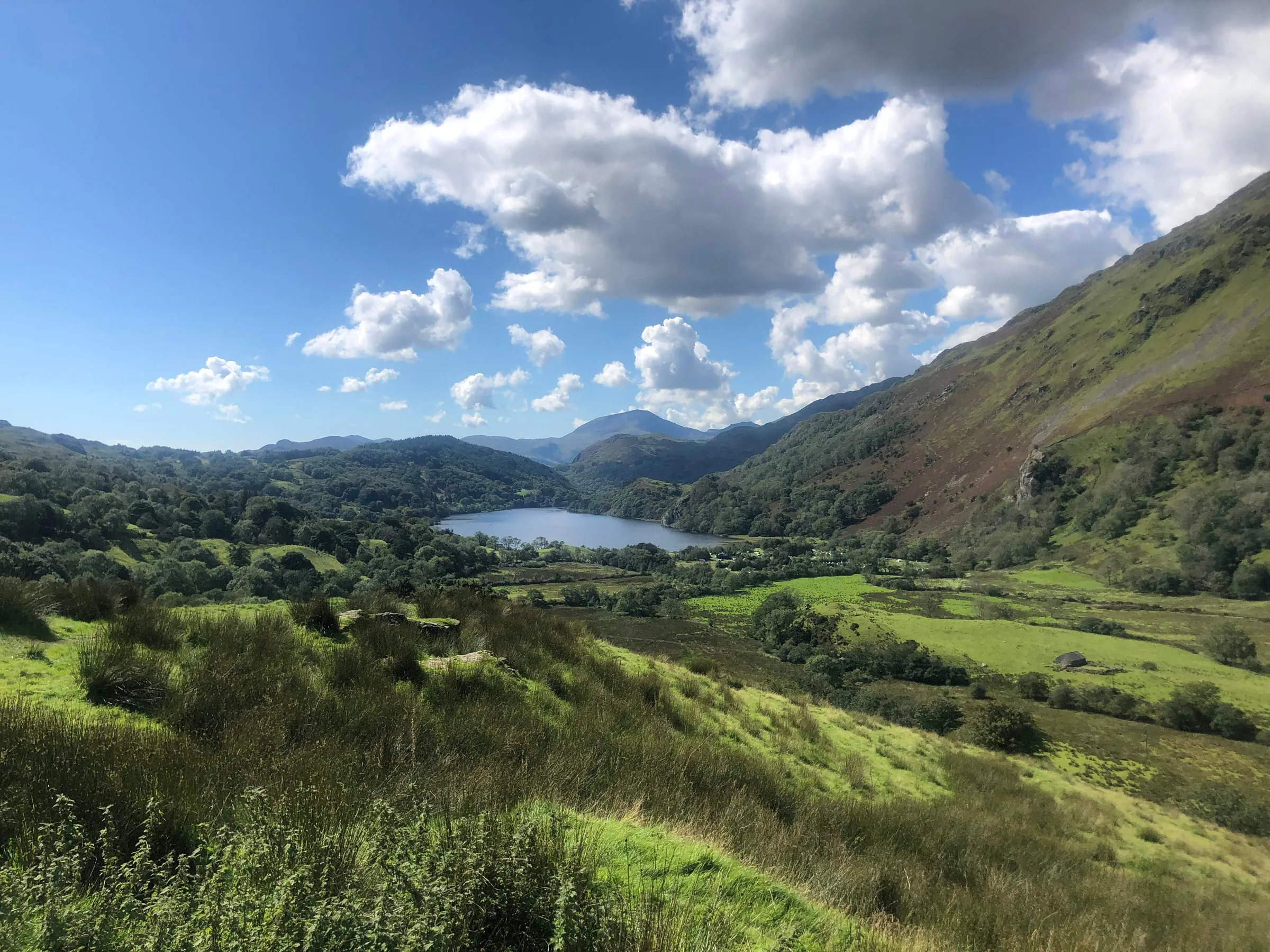
7. Follow the path into the hills; the view over Lyn Dinas from here is unbelievable. Once you get to the top of this area, the path will level off, continue to follow it through the hills. There aren't many distinct landmarks during this part of the hike, but the path is well-defined and easy to follow; for peace of mind, you may wish to use one of the navigation apps at the beginning of this guide. Eventually, you'll reach the sign shown in image 19, which is about 1 mile from the wooden gate near the lake and will take you around 20 to 30 minutes to walk, depending on your speed (image 20 shows a high-level view of the path from the gate to the sign). At the sign you want to take the left path, following the arrow pointing towards Aberglaslyn. After walking for around 1 minute you'll reach a stile ↗ which you'll need to cross, from here you'll be following the path to a forest, which is roughly 1.5 miles away (the route is relatively flat so it will take around 30 to 40 minutes to walk). During this walk, you will pass the ruins of Cwm Bychan copper mine (see image 21 and the Interesting Facts section for more information), after which you will soon reach the low-walled remains of several old stone buildings (see image 22). The path will run through a gap in one of the stone walls, a wooden bench will be just in front of you, head through the gap and turn left. The remaining path from here to the forest alternates between grassy, gravelly, and stone paved, it's quite defined, easy to follow, and continues straight with few turns. Eventually, you'll reach a stone wall that will run alongside the path, leading to a wooden gate, pass through this to continue to the forest.
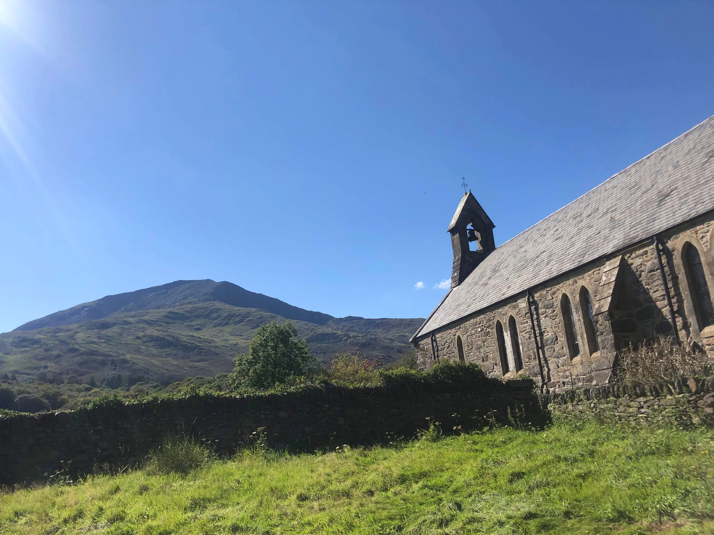
8. The path through the forest is well-defined and easy to follow. About halfway through there will be a sign just before a split in the path; the sign will have an arrow pointing to the left path, stating "Aberglaslyn Maes Parcio Car Park". Follow the left path which heads downwards (the right path heads slightly upwards and deeper into the forest). You will initially pass a bench on your right and then the path runs through several picnic tables and benches; just beyond this area, there will be a stone railway bridge that you'll pass under (see image 23). After you go under the bridge, walk a bit further and the car park where you started will be on your left, through the wooden gate.
gallery
hints & Tips
general
-
The route is steep in places, and the area is littered with pits, tunnels, and spoil heaps, so I'd advise to keep to the path
-
The path that runs along the side of Aberglaslyn Gorge can be extremely slippy and uneven, so take care
-
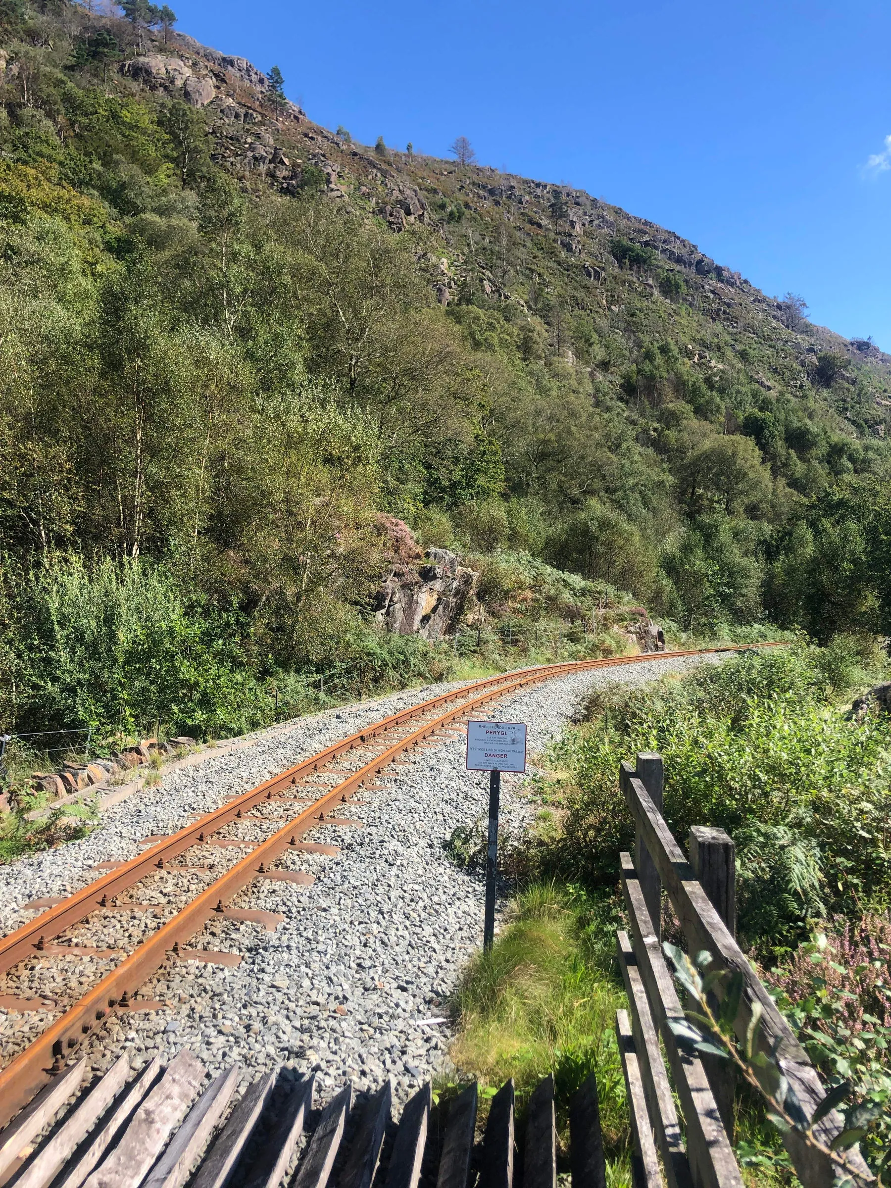
The Welsh Highland Railway service crosses this route, so please take care when crossing any railway tracks
Facilities & Hospitality
Toilets
-
Nantmor Car Park ↗ at the start of the hike
-
Beddgelert ↗ public toilets
-
Sygun Copper Mine ↗ has toilets if you decide to make a stop there
Wi-Fi
-
30 minutes of free public Wi-Fi is available in Beddgelert↗, and additional time can be bought if needed. Lots of restaurants, pubs, and bars also offer free Wi-Fi (see the Food & Drink section below).
Food & Drink
-
The Hebog Cafe & Bistro ↗ has great food and a good selection of alcoholic and non-alcoholic drinks, as well as a stunning river terrace for those warm, sunny days. Click here ↗ to see their lunch menu (they have a few different menus which you can access from the navigation bar) and click here↗ to book a table.
-
Glaslyn Artisan Ice Cream & Pizza ↗ is the oldest Ice Cream Parlour and Pizza Parlour in Eryri (Snowdonia) National Park. They serve some of the best ice cream I've ever tasted and I've heard great things about the pizza too. For their food and drinks (alcoholic and non-alcoholic) menu click here ↗, and to book a table click here ↗ to go to their website.
-
Caffi Colwyn ↗ is also another great choice in Beddgelert, they serve amazing lunch bites, sweet treats, hot and cold drinks, and much more. Click here ↗ to go to their Facebook page where you can take a look at their menu.
Accommodation
-
The Coach House ↗: This cosy guest house is situated in the centre of the village within easy reach of the local amenities including pubs, restaurants and of course, some stunning walks. There are views from the first-floor rooms towards the Aberglaslyn pass and Gelert's grave, so request one of these if possible. Click here ↗ to book.
Interesting Facts
General
-
The hiking brand Gelert takes its name from the legendary dog of the same name and began life in the village of Beddgelert.
-
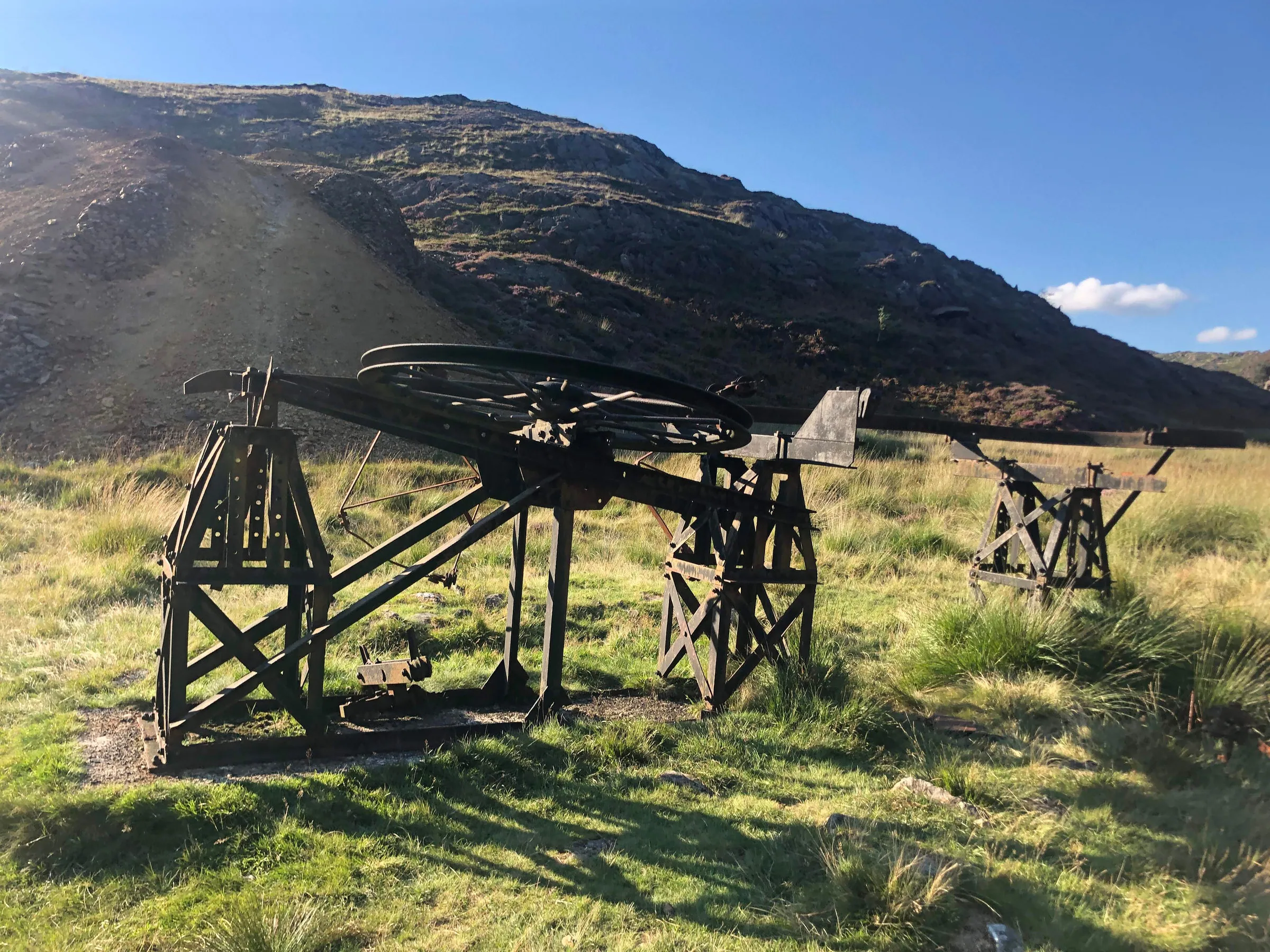
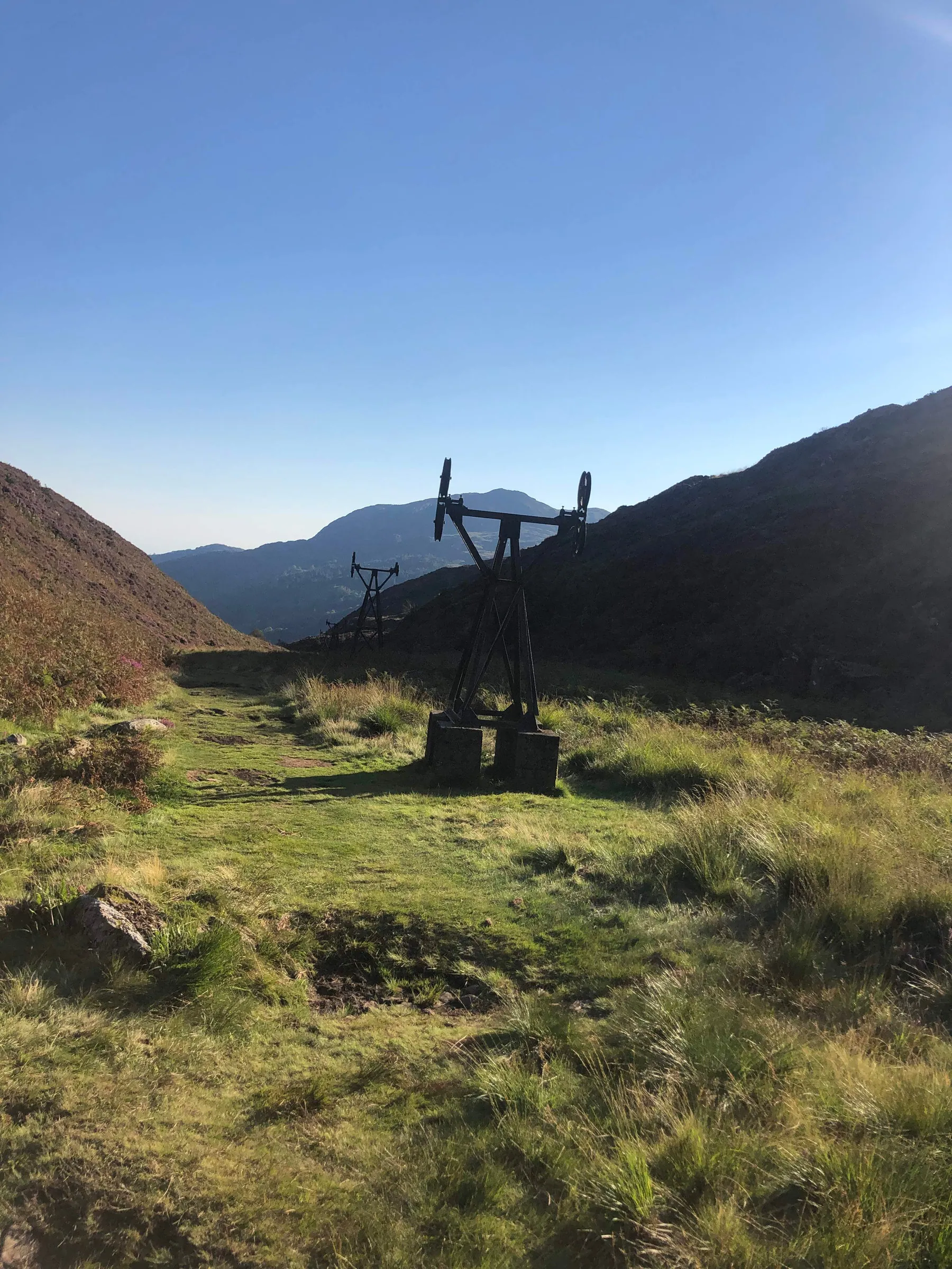
As you venture into the depths of Gwynant Valley, remnants of a bygone era punctuate the landscape, weaving a narrative of industrial ambition and natural beauty. The towering pylons of a once bustling copper mining operation, stand as solemn witnesses to the past. Dating back to 1927, the aerial ropeway, though plagued with mishaps, served as a lifeline for transporting copper ore from the upper reaches of Cwm Bychan to the processing plant near Nantmor. Amidst this industrial legacy lies a precious ecological treasure: internationally scarce heathland, a sanctuary for diverse wildlife including the graceful grayling butterfly. Click here ↗ for more info.
-
When facing Llyn Dinas, you can see Moel Siabod ↗ straight ahead in the distance, framed by Gwynant Valley.
-
Gelert's grave was built around 1802 by David Pritchard, the landlord of the nearby Goat Hotel, to encourage tourism.
-
Beddgelert village is commonly linked to the Gelert legend, but it probably derives its name from Celert, a Christian missionary in the 8th century. The earliest documented name, "Bekelert," dates back to 1258, and by 1269, it appeared as "Bedkelerd."
-
The turquoise tinge of the Glaslyn River is caused by copper sulphate minerals leaching from the surrounding hills into the water.
The Legend of Gelert the Hound
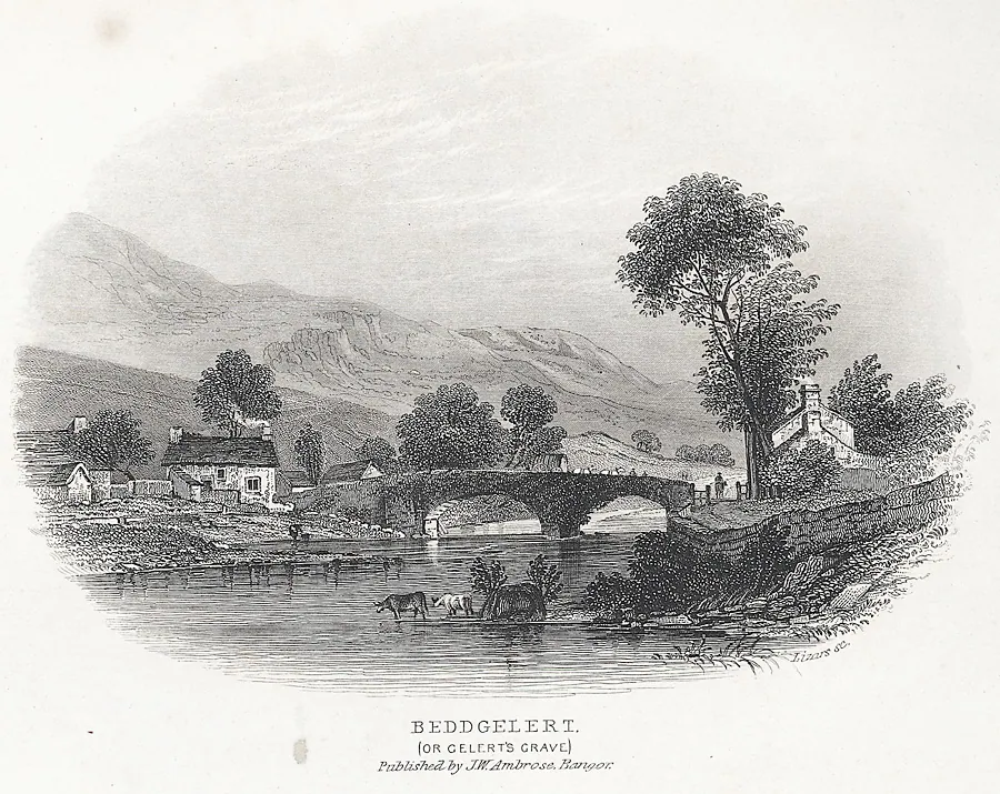
Nestled amidst the verdant hills of Snowdonia lies Beddgelert, a village whose very name whispers a poignant legend. It speaks of Prince Llywelyn the Great, his faithful hound Gelert, and a fateful day etched in tragedy. Upon returning from a hunt, the prince's heart soared at Gelert's joyous greeting, only to plummet into despair at the sight of blood staining the dog's fur. Panic seized him as he found his son's cradle overturned and blood-soaked. Blinded by fear and fury, he struck down his beloved companion. The truth, however, dawned horrifyingly soon. A slain wolf lay nearby, revealing Gelert's heroic defence against the predator. Grief and remorse consumed the prince as he laid Gelert to rest by the gurgling river, forever echoing his name. Beddgelert, meaning "Gelert's Grave," stands as a stark reminder of the enduring bond between man and animal, and the devastating consequences of rash judgment. This poignant legend continues to resonate, an enduring testament to loyalty, sacrifice, and the enduring power of love.
King Arthur's KNIGHT
Though history offers no concrete link, Arthurian lore paints a captivating picture of Llyn Dinas. Legends tell of Owain, a valiant knight of the Round Table, locked in a titanic duel with a formidable giant on the lake's edge. Whispers speak of deeper secrets still, like usurper-king Vortigern hiding his stolen throne in its depths, or Merlin's enchanted treasures slumbering unseen. Yet, the most alluring legend casts Llyn Dinas as the final resting place of Excalibur, Arthur's legendary blade, patiently awaiting the return of a worthy hand to claim its power and usher in a new chapter in its mythos. Whether mere fanciful embellishments or echoes of a forgotten truth, Llyn Dinas remains a captivating touchstone to a world of valor, hidden wonders, and the enduring power of legend.

our mission
This website was created during the second coronavirus lockdown, a time when the nation's collective mental health was at an all-time low. Hiking can provide a psychological reset, a way of forgetting the daily challenges we face and connecting with the healing powers of Mother Nature. Our mission at The Lost Peak is to make people happy by providing an easy-to-use and informative resource for exploring the Great British outdoors.